Slovenské Nové Mesto
Slovenské Nové Mesto (Hungarian: Újhely, Kisújhely or Szlovákújhely) is a village and municipality in the Trebišov District in the Košice Region of south-eastern Slovakia.
Slovenské Nové Mesto
Újhely | |
|---|---|
Village | |
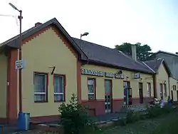 Train station in Slovenské Nové Mesto | |
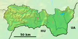  Slovenské Nové Mesto Location of Slovenské Nové Mesto within Trebišov District 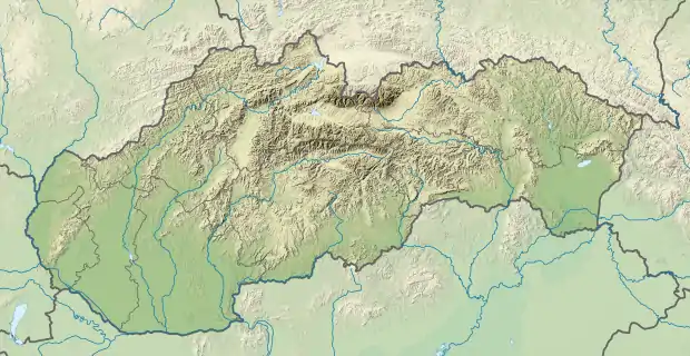 Slovenské Nové Mesto Location of Slovenské Nové Mesto within Slovakia | |
| Coordinates: 48°24′10″N 21°40′10″E | |
| Country |  Slovakia Slovakia |
| Region | Košice |
| District | Trebišov |
| Separation | 1920 |
| Government | |
| • Mayor | Ján Kalinič |
| Area | |
| • Total | 13.382 km2 (5.167 sq mi) |
| Elevation | 104 m (341 ft) |
| Population (31 December 2005) | |
| • Total | 1,053 |
| • Density | 79/km2 (200/sq mi) |
| Time zone | UTC+1 (CET) |
| • Summer (DST) | UTC+2 (CEST) |
| Postal code | 076 33 |
| Area code(s) | 421-56 |
| Car plate | TV |
| Website | http://www.slovnovemesto.szm.sk/ |
| Source:[1] | |
History
The village is a former suburb of the Hungarian city of Sátoraljaújhely, which was separated from the rest of the city by the border of the newly created Czechoslovakia in 1920. The Košice - Mukacheve railway-line made the village strategically important.
Geography
The village lies at an altitude of 104 metres and covers an area of 13.382 km². It has a population of about 1060 people
Politics
The present mayor is Ján Kalinič.
Facilities
The village has a public library and a football pitch.
Sources
External links
- Municipal website (in Slovak)
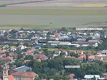
Since 1920 the border set on the Roňava / Ronyva stream separates the village from Sátoraljaújhely

Border between Sátoraljaújhely (left) and Slovenské Nové Mesto
Authority control  | |
|---|---|
| General | |
| National libraries | |
This article is issued from Wikipedia. The text is licensed under Creative Commons - Attribution - Sharealike. Additional terms may apply for the media files.