Apollo Bay, Tasmania
Apollo Bay is a rural locality on Bruny Island, in the local government area (LGA) of Kingborough in the Hobart LGA region of Tasmania. The locality is about 30 kilometres (19 mi) south of the town of Kingston (by road and ferry). The 2016 census provides a population of 23 for the state suburb of Apollo Bay.[1]
| Apollo Bay Tasmania | |||||||||||||||
|---|---|---|---|---|---|---|---|---|---|---|---|---|---|---|---|
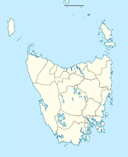  Apollo Bay | |||||||||||||||
| Coordinates | 43°09′51″S 147°17′32″E | ||||||||||||||
| Population | 23 (2016 census)[1] | ||||||||||||||
| Postcode(s) | 7150 | ||||||||||||||
| Location | 30 km (19 mi) S of Kingston | ||||||||||||||
| LGA(s) | Kingborough | ||||||||||||||
| Region | Hobart | ||||||||||||||
| State electorate(s) | Franklin | ||||||||||||||
| Federal division(s) | Franklin | ||||||||||||||
| |||||||||||||||
History
Apollo Bay is a confirmed locality.[2]
Geography
The D'Entrecasteaux Channel forms the western boundary, and most of the northern and southern boundaries.[3]
Road infrastructure
Route B66 (Lennon Road) passes to the north-east. Access is provided by Apollo Bay Road.[2][4]
References
- "2016 Census Quick Stats Apollo Bay (Tas.)". quickstats.censusdata.abs.gov.au. Australian Bureau of Statistics. 23 October 2017. Retrieved 16 January 2021.
- "Placenames Tasmania – Apollo Bay". Placenames Tasmania. Retrieved 16 January 2021.
Select “Search”, enter 38068E, click “Search”, select row, map is displayed, click “Details”
- Google (16 January 2021). "Apollo Bay, Tasmania" (Map). Google Maps. Google. Retrieved 16 January 2021.
- "Tasmanian Road Route Codes" (PDF). Department of Primary Industries, Parks, Water & Environment. May 2017. Archived from the original (PDF) on 1 August 2017. Retrieved 16 January 2021.
This article is issued from Wikipedia. The text is licensed under Creative Commons - Attribution - Sharealike. Additional terms may apply for the media files.