Barobisha
Barobisha or Barovisha or Barabisa is a village located on the National Highway 31C, towards Assam , in the Alipurduar district of West Bengal. It is 8 km away from the Bengal-Assam border. Barobisha comes under the Kumargram community development block. The gram panchayats of Kumargram block/ panchayat samiti are: Chengmari, Kamakhyaguri I, Kamakhyaguri II, Khoardanga I, Khoardanga II, Kumargram, Newland, Kumargram Sankosh, Rydak, Turturi Khanda, Valka Barovisha I and Valka Barovisha II.
Barobisha | |
|---|---|
Village | |
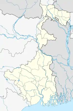  Barobisha Location in West Bengal, India | |
| Coordinates: 26.4679°N 89.8048°E | |
| Country |  India India |
| State | West Bengal |
| District | Alipurduar |
| Government | |
| • Body | Gram Panchayet |
| Languages | |
| • Official | Bengali, English |
| Time zone | UTC+5:30 (IST) |
| PIN | 736207 |
| Telephone code | 03564 |
| Vehicle registration | WB |
| Nearest city | Alipurduar |
| Lok Sabha constituency | Alipurduar |
| Civic agency | Gram Panchayet |
| Climate | Tropical humid (Köppen) |

Barobisha is the gateway to exotic locations like Newlands Tea Garden, Rasikbil migratory bird sanctuary West Bengal, Kalikhola, Geylegphug, and Phuntsholing Bhutan. The place is famous for its Marathon football league and Kali-mela (the fair on the eve of Goddess Kali worship). To its north lies Bhutan hills, south lies Bangladesh and east lies Assam state. Raidak and Sankosh (Wang Chhu and Tsang Chu in Bhutan) are two rivers on the west and east sides of the place. Currently the major portion of Barobisha is getting a massive facelift as it has been demolished on 7 December 2010 due to reconstruction for the National Highway expansion project, which was almost complete by July 2014.
Nearest Town Kamakhyaguri
Location
- Latitude: 26.4679 North
- Longitude: 89.8048 East
- Pin Code: 736207
- Outpost: Barobisha
- District: Alipurduar
- Nearest City: Alipurduar
- State: West Bengal (North)
- Subtropical plains
Major localities
Barobisha bazar and Montala মনতলা, Howlipotty, Christian math, NWGEL Church and Laskar Para, Radhanagar and Laal School, JNV ( Jawahar Navodaya Vidyalaya ) CBSE School, Chakchaka চকচকা & New town, Satsang mandir সৎসঙ্গ মন্দির & Dakshin rampur, Bawt-tola বটতলা and Shalbagan শালবাগান, commercial sales tax office at Assam gate & Shantibon. The nearest railway station to the South is Jorai and nearest Hospital to the North is Laal School (towards Bhutan Hills).
The nearest railway station Kamakhyaguri Railway Station and nearest Hospital Kamakhyaguri Rural Hospital
Occupation
Most of the people are farmers and the next generations rely on business like timber, construction works, fishing, vegetable, and retail clothing. Assam-Bengal Commercial/Sales Tax office used to provide a large number of jobs. But post GST regime, Jorai and it's neighbour Barobisha have witnessed massive unemployment due to the unification in taxes and abolishing of State sales Tax gate, which would otherwise serve many people a source of income. Computer learning centres, Kindergarten & Montessori schools, state government jobs and agriculture provide other job opportunities.
External Sources
সংবাদ প্রতিদিন https://www.sangbadpratidin.in/religion/31-feet-kali-idol-major-attraction-for/