Cerro Capurata
Cerro Capurata, also known as Elena Capurata or Quimsachatas[3] is a stratovolcano in the Andes of Bolivia and Chile.[4] To the south of Capurata lies Cerro Casparata and straight west Guallatiri.[5]
| Cerro Capurata | |
|---|---|
| Elena Capurata, Nevados de Quimsachata | |
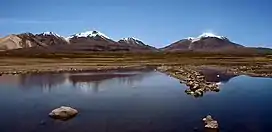 Cerro Capurata is in the center. | |
| Highest point | |
| Elevation | 6,013 m (19,728 ft) |
| Prominence | 602[1] m (1,975 ft) |
| Parent peak | Acotango |
| Coordinates | 18°24′54″S 69°02′45″W |
| Geography | |
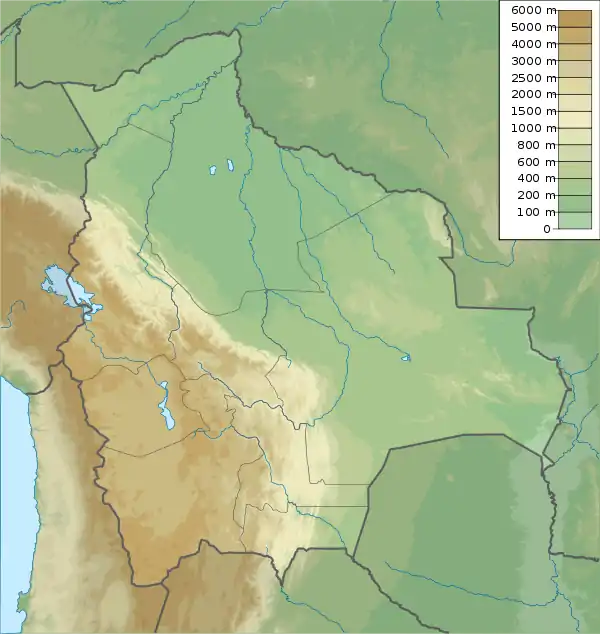  Cerro Capurata Chile / Bolivia | |
| Countries | Chile and Bolivia |
| Parent range | Andes |
| Climbing | |
| First ascent | 7 October 1967 by Ignacio Morlans and Pedro Rosende[2] |
Geography and geomorphology
It is on the border of the Parinacota Province of Chile (Putre commune) and of the Bolivian province of Sajama (commune Turco).[1] Compared to Acotango and Humurata, Capurata's rocks are relatively well preserved. Some hydrothermal alteration, partly associated with fumarolic activity, is present however.[6] The total volume of the edifice is 19 cubic kilometres (4.6 cu mi)[7] and has been eroded by glaciers. The volcano is formed by lava domes, lava flows and pyroclastic flows.[8] Sulfur deposits formed by solfataras are also found on Capurata.[9] The west side of the mountain is covered with snow and ice.[10] Two crater depressions on the summit have an appearance that suggests a Holocene age.[8]
Incan Ruins and First Ascent
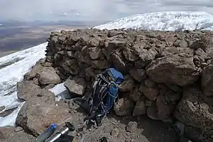
A 10 by 5 metres (33 ft × 16 ft) ruin towards the northern site of the summit. The structure was probably built by the Inkas and it was photographed by Pedro Hauck during his last ascent in 2014.[11] The first recorded climb is by Pedro Rosende and Ignacio Morlans (Chile) in 10/07/1967.[12][13]
Elevation
It has an official height of 5990 metres,[14][lower-alpha 1][lower-alpha 2] but handheld GPS devices have indicated that it is actually 6,013 metres (19,728 ft)[20] or 6,014 metres (19,731 ft) high.[11]
Notes
- Other data from digital elevation models: SRTM yields 5,979 metres (19,616 ft),[15] ASTER 5,992 metres (19,659 ft),[16] SRTM filled with ASTER5,979 metres (19,616 ft),[17] ALOS 5,992 metres (19,659 ft),[18] TanDEM-X 6,019 metres (19,747 ft).[19]
- The height of the nearest key col is 5,409 metres (17,746 ft),[1] leading to a topographic prominence of 602 metres (1,975 ft) with a topographical dominance of 12.08%. Its parent peak is Acotango and the Topographic isolation is 3.7 kilometres (2.3 mi).[1]
References
- "Capurata / Quimsachatas". Andes Specialists. Retrieved 2020-04-12.
- "South America: Patagonia" (PDF). Alpine Journal. Retrieved 10 April 2016.
- "Capurata / Quimsachatas 6011m". Andes Specialists (in Portuguese). 2020-04-17. Retrieved 2021-08-11.
- Biggar, John (2020). The Andes a guide for climbers (5th ed.). Castle Douglas, Scotland. ISBN 978-0-9536087-7-5. OCLC 1260820889.
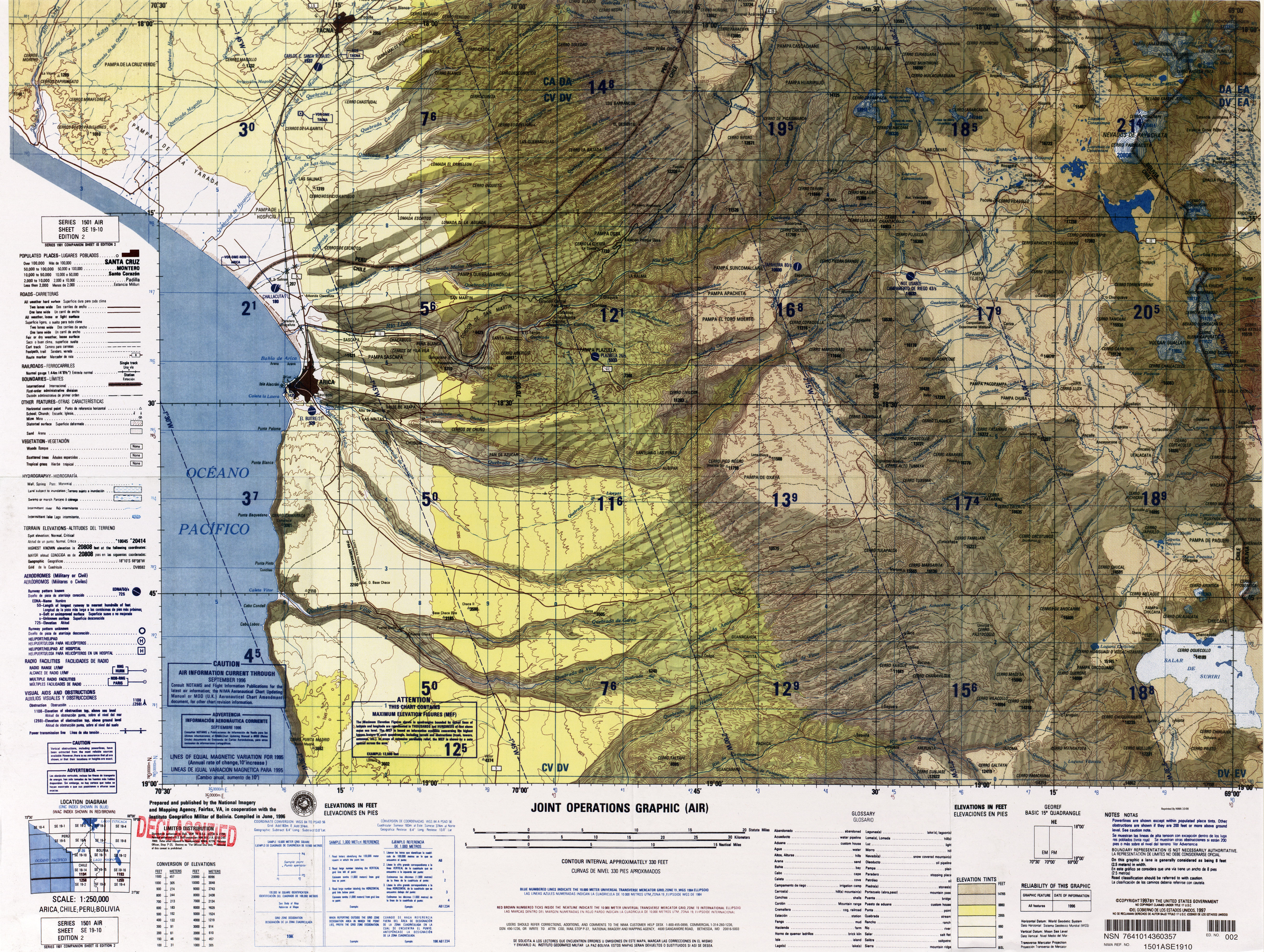
- "SE 19-10 Arica, Chile; Peru; Bolivia". Latin America, Joint Operations Graphic 1:250,000 [Not for navigational use]. University of Texas. Archived from the original on 4 March 2016. Retrieved 10 April 2016.
- Watts, Robert B.; Clavero Ribes, Jorge; Sparks, R. Stephen J. (30 September 2014). "Origen y emplazamiento del Domo Tinto, volcán Guallatiri, Norte de Chile". Andean Geology. 41 (3). doi:10.5027/andgeoV41n3-a04.
- Aravena, Diego; Villalón, Ignacio; Pablo, Sánchez. "Igneous Related Geothermal Resource in the Chilean Andes" (PDF). World Geothermal Congress 2015. Retrieved 10 April 2016.
- Gonzalez Ferran, O (1995). Volcanes de Chile (in Spanish). Instituto Geografico Militar. p. 122.
- Avila-Salinas, Waldo (1991). "Petrologic and tectonic evolution of the Cenozoic volcanism in the Bolivian western Andes". Andean Magmatism and Its Tectonic Setting. 265. p. 248. doi:10.1130/SPE265-p245. ISSN 0072-1077.
- Ochsenius, Claudio (1986). "La Glaciación Puna durante el Wisconsin, Desglaciación y Máximo Lacustre en la Transición Wisconsin-Holoceno y Refugios de Megafauna Postglaciales en la Puna y Desierto de Atacama" (PDF). Revista de Geografía Norte Grande (in Spanish). 13: 36. Archived from the original (PDF) on 2016-03-04. Retrieved 10 April 2016.
- "Todas as montanhas de 6 mil metros da Bolívia". AltaMontanha (in Portuguese). 2015-02-08. Retrieved 2020-04-13.
- Cerro Capurata, Northern Andes.
- "AAJ (American Alpine Journal)". AAJ (American Alpine Journal). 1969.
- Zeil, Werner (December 1964). "Die Verbreitung des jungen Vulkanismus in der Hochkordillere Nordchiles". Geologische Rundschau (in German). Springer Verlag. 53 (2): 751. doi:10.1007/BF02054561. ISSN 1432-1149.
- USGS, EROS Archive. "USGS EROS Archive - Digital Elevation - SRTM Coverage Maps". Retrieved 12 April 2020.
- "ASTER GDEM Project". ssl.jspacesystems.or.jp. Retrieved 14 April 2020.
- "ASTER GDEM Project". ssl.jspacesystems.or.jp. Retrieved 14 April 2020.
- "ALOS GDEM Project". Retrieved 14 April 2020.
- TanDEM-X, TerraSAR-X. "Copernicus Space Component Data Access". Retrieved 12 April 2020.
- "Maximo Kausch llega a la mitad de su proyecto andino y 'descubre' un nuevo seismil". Desnivel. 2 September 2013. Archived from the original on 23 April 2016. Retrieved 20 December 2016.