Cerro El Toro
Cerro El Toro is a mountain in the Andes located on the border between Argentina and Chile. It has an elevation of 6,168 m above sea level.[5] Its territory is within the Argentinean protection areas of Provincial Reserve San Guillermo. The Argentinean side is at San Juan province, commune of Iglesia.[6] Chilean side is at the Huasco province, and commune of Alto del Carmen.[7]
| Cerro El Toro | |
|---|---|
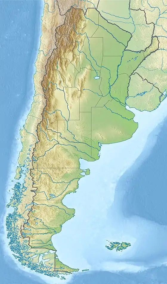  Cerro El Toro Location in Argentina on the border with Chile | |
| Highest point | |
| Elevation | 6,168 m (20,236 ft)[1] |
| Prominence | 1,842 m (6,043 ft)[2][3] |
| Parent peak | Majadita |
| Listing | Ultra |
| Coordinates | 29°07′48″S 69°47′12″W[2] |
| Geography | |
| Location | Argentina - Chile |
| Parent range | Andes |
| Climbing | |
| First ascent | Incan ascent and first modern ascent 26th Feb 1964 - Antonio Beorchia Nigris (Italy), Jorge Enrique Varas and Sergio Fernandez (Argentina)[4] |
First Ascent and Incan Ascents
Toro was surely first climbed by Incas in unknown dates.[8] A mummy was found on the Argentine slopes in 1964.[9] The first recorded ascent was by Antonio Beorchia Nigris (Italy), Jorge Enrique Varas and Sergio Fernandez (Argentina) in 02/26/1964.[10]
Elevation
It has an official height of 6160 meters.[11] Other data from available digital elevation models: SRTM yields 6148 metres,[12] ASTER 6122 metres[13] and TanDEM-X 6184 metres.[14] The height of the nearest key col is 4326 meters, leading to a topographic prominence of 1842 meters.[15] Toro is considered a Mountain Range according to the Dominance System [16] and its dominance is 29.86%. Its parent peak is Majadita and the Topographic isolation is 143.4 kilometers.[15]
External links
References
- "Cumbres en Zona Fronteriza: Cerro El Toro" (in Spanish). Chilean Government - Difrol. Archived from the original on 2 March 2012. Retrieved 11 February 2012.
- "Argentina and Chile North: Ultra-Prominences" Peaklist.org. Retrieved 2013-02-25.
- "Toro". Andes Specialists. Retrieved 2020-04-12.
- Beorchia Nigris. El Enigma de los Santuarios Indigenas de Alta Montaña. pp. 224–237.
- Biggar, John (2020). The Andes a guide for climbers (5th ed.). Castle Douglas, Scotland. ISBN 978-0-9536087-7-5. OCLC 1260820889.
- "Capas SIG | Instituto Geográfico Nacional". www.ign.gob.ar. Retrieved 2020-04-30.
- rbenavente. "Biblioteca del Congreso Nacional | SIIT | Mapas vectoriales". bcn.cl. Retrieved 2020-04-30.
- Ceruti, Maria Constanza (2015). "Frozen Mummies from Andean Mountaintop Shrines: Bioarchaeology and Ethnohistory of Inca Human Sacrifice". BioMed Research International. 2015: 439428. doi:10.1155/2015/439428. ISSN 2314-6133. PMC 4543117. PMID 26345378.
- Schobinger, Juan (1964-12-01). "Discovery of an Indian Body on Cerro El Toro, Southern Andes". Current Anthropology. 5 (5): 419. doi:10.1086/200529. ISSN 0011-3204. S2CID 143969025.
- Beorchia Nigris. El Enigma de los Santuarios Indigenas de Alta Montaña. pp. 224–237.
- "IGN Argentina". IGN Argentina. 14 April 2020. Retrieved 14 April 2020.
- USGS, EROS Archive. "USGS EROS Archive - Digital Elevation - SRTM Coverage Maps". Retrieved 12 April 2020.
- "ASTER GDEM Project". ssl.jspacesystems.or.jp. Retrieved 2020-04-14.
- TanDEM-X, TerraSAR-X. "Copernicus Space Component Data Access". Retrieved 12 April 2020.
- "Toro". Andes Specialists. Retrieved 2020-04-12.
- "Dominance - Page 2". www.8000ers.com. Retrieved 2020-04-12.