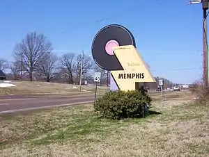
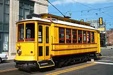
Frayser, Memphis
Frayser is a neighborhood on the northside of Memphis, Tennessee, United States. It is named after Memphis physician Dr. J Frayser, who owned a summer home near the railroad.[1] Frayser's boundaries are the Wolf River to the south, the Mississippi River to the west, the Loosahatchie River to the north, and ICRR tracks to the east.[1] The population of Frayser is 45,000.[2]
.jpg.webp)
Frayser, Memphis | |
|---|---|
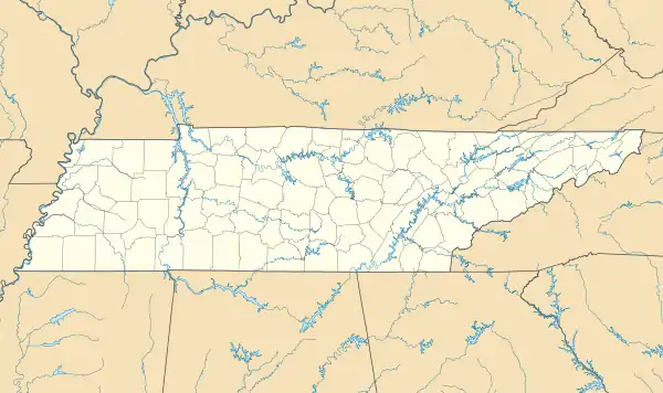  Frayser, Memphis  Frayser, Memphis | |
| Coordinates: 35°13′03″N 90°00′12″W | |
| Country | United States |
| State | Tennessee |
| County | Shelby |
| Area | |
| • Total | 20.73 sq mi (53.7 km2) |
| Elevation | 313 ft (95 m) |
| Population | |
| • Total | 45,000 |
| ZIP Code | 38127 |
| Area code | 901 |
History
Education
Most of the public schools in Frayser are served by Shelby County Schools (previously under the authority of the Memphis City Schools system). Elementary schools include, Hawkins Mill, Delano, Georgian Hills, and Lucie E Campbell Elementary Schools. Middle schools include, Grandview Heights and Georgian Hills Middle Schools, and including a public high school, Trezevant High School.
Primary and secondary education
With the state changes in the education process, the Achievement School District was created and a number of school agencies sprouted in the Frayser Community including charter schools and a Montessori school. In February 2012 the Achievement School District announced that it planned to take over management of Corning Elementary School, Frayser Elementary School, and Westside Middle school in Frayser.[5]
Higher education
Frayser is home to Southwest Tennessee Community College's Gill Campus. The Gill Campus is located in the northeast quadrant of the neighborhood.
Transportation
Frayser is served by 5 MATA bus routes, numbered 6, 11, 32, 40, and 42.[6]
Interstate I-40 runs through the southern reaches of Frayser. US 51/SR 3 bisects the western quadrants of the neighborhood. Frayser entirely encapsulates SR 300, which connects US 51 to I-40 exit 2A. Frayser also serves as the southern terminus of SR 388. [7]
References
- "Frayser Futures: A Comprehensive Plan for Growth and Development for The Frayser Community Association and Frayser Community Development Corporation" (PDF). The University of Memphis. 2003. Retrieved 15 April 2021.
- "History". Frayser Community Development Corporation. Retrieved 2021-09-18.
- "Residents hopeful that Frayser will rebound." (Archive) The Commercial Appeal. Saturday December 6, 2003. Retrieved on June 3, 2013. "(The partly rural Zip Code 38127 ranges all the way up to Shelby Forest, but the majority of the population is concentrated in Frayser.)"
- "Document Center Annexation Ordinances". ShelbyCountyTn.Gov. Retrieved June 4, 2021.
- "3 Low-Performing Frayser Schools Being Taken Over." (Archive) Associated Press at LocalMemphis.com. February 27, 2012. Retrieved on June 3, 2013.
- "MATA-System_Map_Nov20.pdf" (PDF). Memphis Area Transit Authority.
- "City and Vicinity Map: Memphis, Tenn. NW" (PDF). Tennessee State Government. 2002. Retrieved May 18, 2021.
External links
 Media related to Frayser, Memphis at Wikimedia Commons
- Frayser Community Association
- Frayser Community Development Corporation