Gauribidanur
Gauribidanur is a taluk situated in Chikkaballapur district in the Indian state of Karnataka.[1]
Gauribidanur | |
|---|---|
City | |
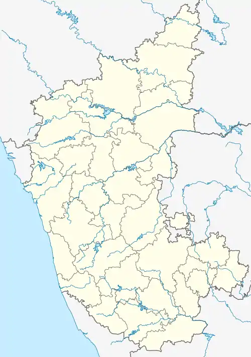  Gauribidanur Location in Karnataka, India | |
| Coordinates: 13°36′40″N 77°31′00″E | |
| Country |  India India |
| State | Karnataka |
| District | Chikkaballapur |
| Government | |
| • Type | Municipal corporation |
| Elevation | 694 m (2,277 ft) |
| Population (2020) | |
| • Total | 357,929 |
| Languages | |
| • Official | Kannada |
| Time zone | UTC+5:30 (IST) |
| PIN | 561208 |
| Vehicle registration | KA 40 |
| Lok Sabha constituency | Chikkaballapur |
Geography
Gauribidanur is at 13.61°N 77.52°E.[2] It has an average elevation of 694 metres (2276 feet).
Demographics
As of 2011 India census,[3] Gauribidanur had a population of 37,947. Males constitute 49.72% of the population and females 50.28%. Gauribidanur has an average literacy rate of 72%, higher than the national average of 59.5%: male literacy is 77%, and female literacy is 67%. In Gauribidanur, 11% of the population is under 6 years of age.
References
- http://www.gowribidanurtown.mrc.gov.in/
- Falling Rain Genomics, Inc - Gauribidanur
- "Census of India 2001: Data from the 2011 Census". Census Commission of India. Retrieved 1 November 2008.
 |
Wikimedia Commons has media related to Gauribidanur. |
This article is issued from Wikipedia. The text is licensed under Creative Commons - Attribution - Sharealike. Additional terms may apply for the media files.