Hollandse Kamp
Hollandse Kamp is an indigenous village of Lokono[1] Amerindians in the resort of Zuid in the Para District in Suriname. The village is located south of the Johan Adolf Pengel International Airport.[2]
Hollandse Kamp | |
|---|---|
Village | |
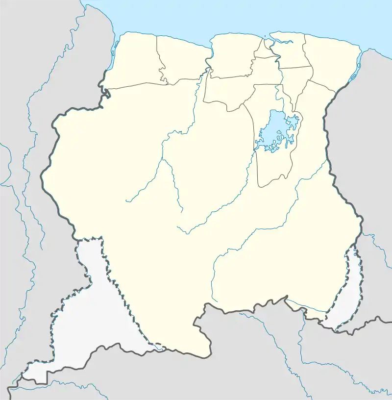  Hollandse Kamp | |
| Coordinates: 5.44692°N 55.20047°W | |
| Country |  Suriname Suriname |
| District | Para District |
| Resort | Zuid |
| Government | |
| • Captain | Theo Jubitana[1] |
| Population (2020)[1] | |
| • Total | 186 |
| Time zone | UTC-3 (AST) |
Overview
Hollandse Kamp translates to Dutch camp. The name refers to a military camp located to the south of the village which was built during World War II.[3] The military camp is still in use by the Suriname National Army, and is nowadays called Ayoko Kazerne.[4]
Hollandse Kamp has a health care clinic.[5] In 2018, the village received access to clean drinking water.[6]
The village chief is Theo Jubitana.[1] In 2017, Jubitana became President of Vereniging van Inheemse Dorpshoofden in Suriname (Association of Indigenous Village Chiefs In Suriname), the political pressure group for the indigenous population.[7]
Hollandse Kamp together with neighbouring Witsanti are at the centre of an indigenous land conflict. The Johan Adolf Pengel International Airport wants to expand the airport, and laid a claim on land belonging to Hollandse Kamp.[2] Hollandse Kamp however, refers to maps from 1735 onwards where the area is marked as "Free Indian" territory.[8]
References
- "Dorpen en Dorpsbesturen". Vereniging van inheemse dorpshoofden in Suriname (in Dutch). Retrieved 3 March 2021.
- "We moeten blijven strijden voor onze grondrechten". De Kanttekening (in Dutch). Retrieved 3 March 2021.
- "Maraka" (in Dutch). Vereniging van Inheemse Dorpshoofden in Suriname. December 2011. Retrieved 3 March 2021. Cite magazine requires
|magazine=(help) - "Prinses Beatrix kampement". TRIS Online (in Dutch). Retrieved 3 March 2021.
- "Planning Office Suriname - Districts" (PDF). Planning Office Suriname (in Dutch). 2014. Retrieved 3 March 2021.
- "Dorp Hollandse Kamp krijgt SWM-aansluitingen". Dagblad Suriname (in Dutch). Retrieved 3 March 2021.
- "Theo Jubitana nieuwe voorzitter VIDS". Star Nieuws (in Dutch). Retrieved 3 March 2021.
- "Van wie is Tempoca?". Parbode (in Dutch). 1 June 2007. Retrieved 3 March 2021.
Vanaf 1735 staat op de kaarten steeds het gebied van de ‘Vrije Indianen’ aangegeven: het gebied waar nu Wit Santi, luchthaven Zanderij en het inheemse dorp Hollandse Kamp ligt. (From 1735 onwards, maps mark the territory of the 'Free Indians': the area which nowadays contains Wit Santi, the airport and Hollandse Kamp)