Isla Suárez
| Disputed island | |
|---|---|
| Geography | |
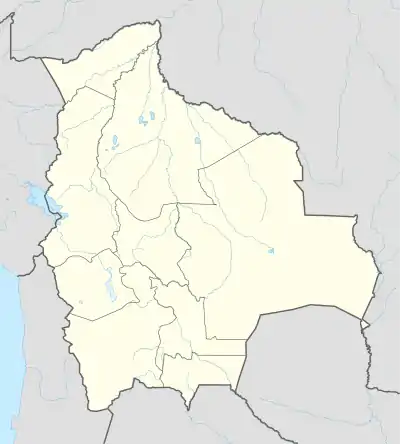  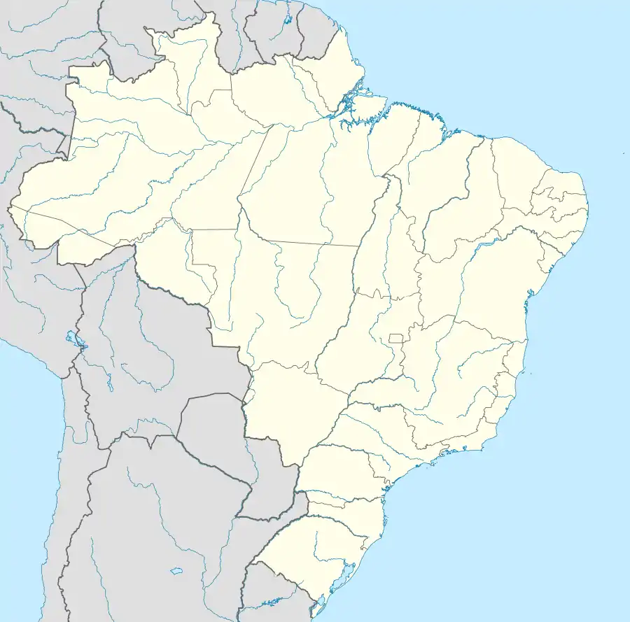 | |
| Coordinates | 10°47′42″S 65°21′35″W |
| Claimed by | |
| Bolivia | |
| Department | Beni |
| Municipality | Guayaramerín |
| Brazil | |
| State | Rondônia |
The Ilha de Guajará-Mirim (Brazil) or Isla Suárez (Bolivia) is one of the world's many disputed territories. The island lies in the Rio Mamoré, which defines part of the boundary between the Bolivian department of Beni and the Brazilian state of Rondônia.
This article is issued from Wikipedia. The text is licensed under Creative Commons - Attribution - Sharealike. Additional terms may apply for the media files.