Itaporanga d'Ajuda
Itaporanga d'Ajuda is a Brazilian municipality in the Northeastern state of Sergipe. It covers 757 square kilometres (292 sq mi), has a population of 34,709 (2020) and a population density of 46 residents per km2 (120/sq mi).[1]
Itaporanga d'Ajuda | |
|---|---|
municipality | |
| Municipio de Itaporanga d'Ajuda | |
 Praia da Caueira, Itaporanga d'Ajuda | |
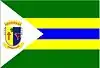 Flag  Seal | |
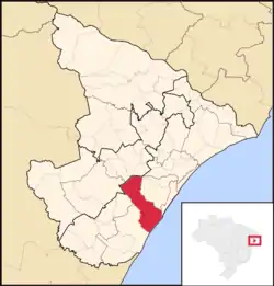 Location of Itaporanga d'Ajuda in the State of Sergipe | |
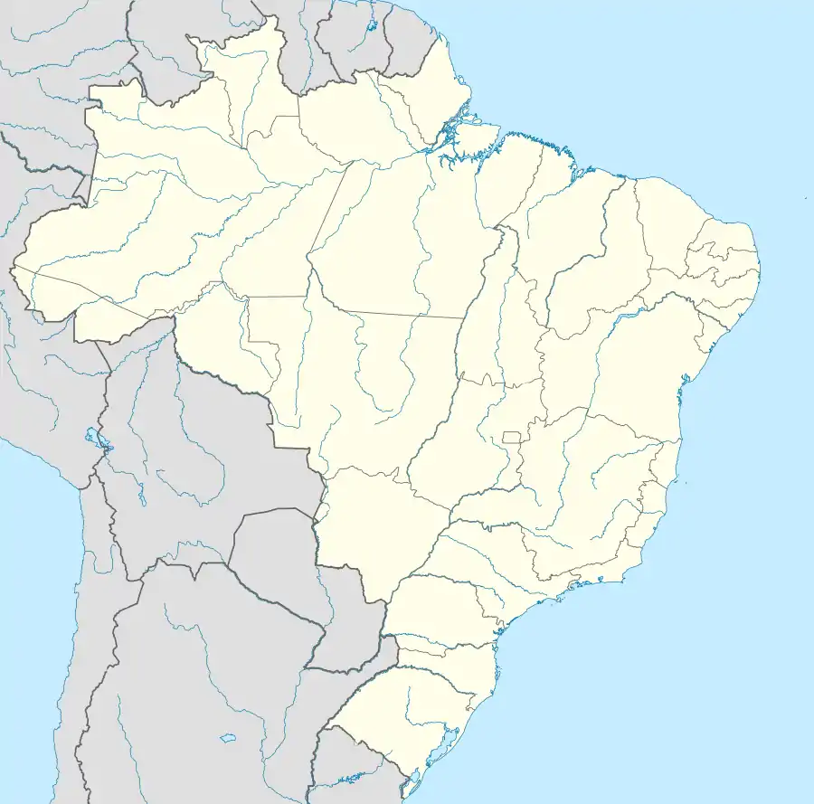  Itaporanga d'Ajuda Location in Brazil | |
| Coordinates: | |
| Country | Brazil |
| Region | Northeast Region |
| State |  Sergipe Sergipe |
| Area | |
| • Total | 757 km2 (292 sq mi) |
| Population | |
| • Total | 34,709 |
| • Density | 46/km2 (120/sq mi) |
| Time zone | UTC-3 |
The municipality contains part of the Serra de Itabaiana National Park.[2]
Toponym
"Itaporanga" is a Tupi language term meaning "beautiful stone". It is formed by the word itá, meaning stone, and poranga, meaning beautiful. "D'Ajuda" is a reference to the patron of the municipality, Our Lady of Help (Nossa Senhora da Ajuda).[3]
References most used
- "IBGE 2020". Retrieved 26 January 2021.
- Unidade de Conservação: Parque Nacional da Serra de Itabaiana (in Portuguese), MMA: Ministério do Meio Ambiente, retrieved 2016-05-03
- Eduardo de Almeida Navarro (2006). Método moderno de tupi antigo: a língua do Brasil dos primeiros séculos (in Portuguese) (3rd ed.). São Paulo: Global Editora. ISBN 978-85-260-1058-1. Wikidata Q109870287.
Authority control  | |
|---|---|
| General | |
| National libraries | |
This article is issued from Wikipedia. The text is licensed under Creative Commons - Attribution - Sharealike. Additional terms may apply for the media files.