Jaime Ortiz Betancur Airport
Jaime Ortiz Betancur Airport (IATA: IGO, ICAO: SKIG) is an airport serving the town of Chigorodó in the Antioquia Department of Colombia.
Jaime Ortiz Betancur Airport Chigorodó Airport | |||||||||||
|---|---|---|---|---|---|---|---|---|---|---|---|
| Summary | |||||||||||
| Airport type | Public | ||||||||||
| Serves | Chigorodó, Colombia | ||||||||||
| Elevation AMSL | 110 ft / 34 m | ||||||||||
| Coordinates | 7°40′40″N 76°41′00″W | ||||||||||
| Map | |||||||||||
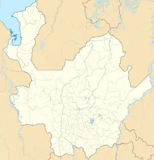  IGO 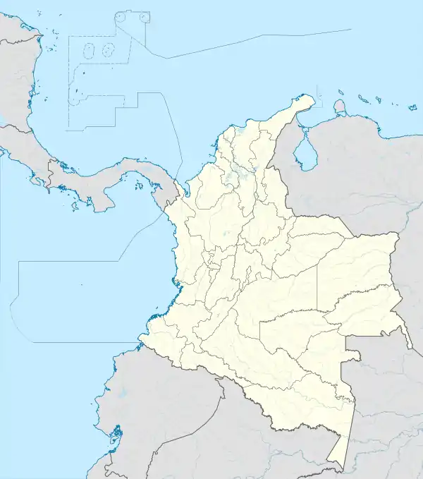 IGO | |||||||||||
| Runways | |||||||||||
| |||||||||||
The airport is on the north side of the town, across the small Guaduas River, which feeds into the Gulf of Urabá.
The Los Cedros VOR-DME (Ident: LCE) is located 8.5 nautical miles (15.7 km) north-northwest of the airport.[3]
See also
 Colombia portal
 Aviation portal
- Transport in Colombia
- List of airports in Colombia
References
- Airport information for IGO at Great Circle Mapper.
- Google Maps - Chigorodó
- "Los Cedros VOR". Our Airports. Retrieved 26 October 2018.
External links
- OpenStreetMap - Chigorodó
- OurAirports - Chigorodó
- FallingRain - Chigorodó Airport
- HERE/Nokia - Chigorodó
- Accident history for IGO at Aviation Safety Network
This article is issued from Wikipedia. The text is licensed under Creative Commons - Attribution - Sharealike. Additional terms may apply for the media files.