Jebel Bishri
Jebel Bishri or Mount Bishri (Arabic: جبل البِشْرِي Jabal al-Bishri) is a highland region in northeastern Syria. It is located on the border between Deir ez-Zor Governorate, Raqqa Governorate and Homs Governorate.
| Jebel Bishri | |
|---|---|
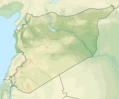  Jebel Bishri Location of Jebel Bishri  Jebel Bishri Jebel Bishri (Near East) | |
| Highest point | |
| Elevation | 825 m (2,707 ft) |
| Coordinates | 35°17′23″N 39°13′8″E |
| Naming | |
| Native name | جبل بشرّي |
| Geography | |
| Location | Deir ez-Zor Governorate, Syria |
Geography
Jebel Bishri is a broad ridge of mountains extending immediately west of the Euphrates river, northwest of the city of Deir ez-Zor, southwestwards toward Palmyra.[1] It forms part of the Palmyrene mountain belt in central Syria.[2] Its eastern piedmont reaches Deir ez-Zor.[2]
History
Jebel Bishri is associated with the Amorites and was known as the "mountain of the Amurrum" in Akkadian sources.[3]
Land Reformation
The Arab Center for the Studies of Arid Zones and Dry Lands, Syria (ACSAD), headquartered in Damascus, developed a plan to be implemented from 1994 to 2006 to stop desertification in the region of Jebel Bishri. The scheme included planting certain kinds of trees such as Pistacia atlantica and Prunus.
Natural Resources
The region is abundant with natural Asphalt which was discovered in 2007.[4] Gas and oil facilities are around the Bishri mountains.[5]
References
- Haldar 1971, p. 6.
- Lönnqvist 2006, p. 203.
- Fleming, Daniel E. (2004). Democracy's Ancient Ancestors: Mari and Early Collective Governance. Cambridge: Cambridge University Press. p. 39. ISBN 9781107404939.
- اكتشاف الإسفلت في جبل البشري سيجعلنا دولة مصدرة ل50 سنة قادمة
- Brew, Graham; Barazangi, Muawia (2001). "Tectonic and Geologic Evolution of Syria". GeoArabia. Bahrein: Gulf PetroLink. 6 (4): 607.
Bibliography
- Haldar, Alfred (1971). Who were the Amorites?. Leiden: E. J. Brill.
- Lönnqvist, Minna (2006). "Archaeological Surveys of Jebel Bishri: The Preliminary Report of the Finnish Mission to Syria, 2000-2004". Kaskal: Rivista di storia, ambienti e culture del Vicino Oriente Antico. 3: 203–240.
Authority control  |
|---|