Jorhat Airport
Jorhat Airport (IATA: JRH, ICAO: VEJT) also known as Rowriah Airport is located at Rowriah, 7 Kilometres South-West of Jorhat city, Assam, India.It was established in early 1950s and commonly known as Rowriah Airport because it is located at Rowriah area of the city.[1]
Jorhat Airport  Rowriah Airport | |||||||||||
|---|---|---|---|---|---|---|---|---|---|---|---|
| Summary | |||||||||||
| Airport type | Civil Enclave | ||||||||||
| Owner/Operator | Airports Authority of India | ||||||||||
| Serves | Jorhat, Golaghat (Assam) | ||||||||||
| Location | Jorhat | ||||||||||
| Elevation AMSL | 311 ft / 95 m | ||||||||||
| Coordinates | 26°43′54″N 094°10′32″E | ||||||||||
| Map | |||||||||||
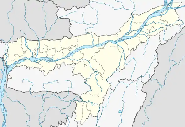  JRH Location in Assam 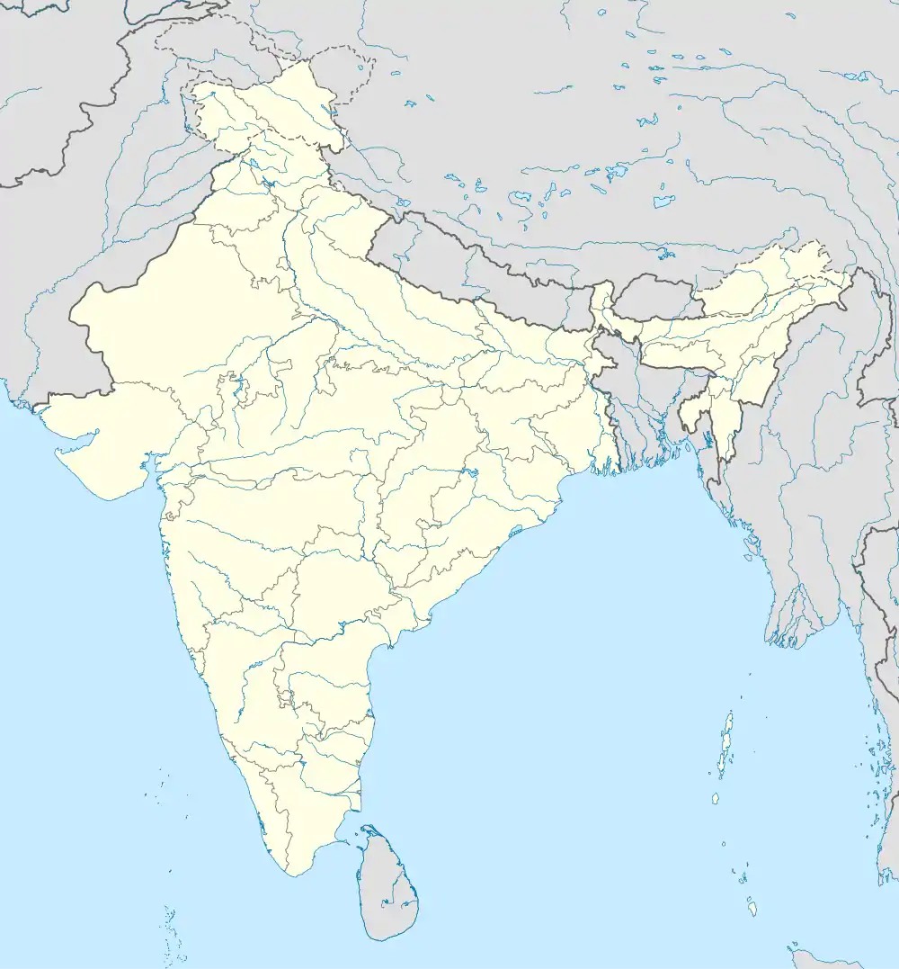 JRH JRH (India) | |||||||||||
| Runways | |||||||||||
| |||||||||||
Jorhat AFS is the Indian Air Force's first air base in the East. It is primarily a transport base for launching aircraft that carry out airdrops in the Naga Hills in Nagaland and Arunachal Pradesh.
It is equipped with two squadrons of An-32 transport aircraft and air logistics are provided from Jorhat to the Kameng, Subansiri, Siang, Lohit and Tirap districts of Arunachal Pradesh.[2]
References
- Our Special Correspondent (14 August 2011). "Leopard fear grips Jorhat IAF station". Telegraphindia.com. Retrieved 20 June 2014.
- "Challenging Sorties". Vayu-sena.tripod.com. Retrieved 20 June 2014.
- "Flight Schedule for Domestic & International Flights". IndiGo. Retrieved 25 December 2018.
- "IndiGo Announces New Destinations, Adds 16 New Flights. Details Here". NDTV.com. Retrieved 13 June 2018.
External links
| Leadership | |||||||||||||||||||||||||||||||||||||||||||||
|---|---|---|---|---|---|---|---|---|---|---|---|---|---|---|---|---|---|---|---|---|---|---|---|---|---|---|---|---|---|---|---|---|---|---|---|---|---|---|---|---|---|---|---|---|---|
| Components & commands |
| ||||||||||||||||||||||||||||||||||||||||||||
| Military academies |
| ||||||||||||||||||||||||||||||||||||||||||||
| Insignia |
| ||||||||||||||||||||||||||||||||||||||||||||
| History & future | |||||||||||||||||||||||||||||||||||||||||||||
| Other | |||||||||||||||||||||||||||||||||||||||||||||
| |||||||||||||||||||||||||||||||||||||||||||||


This article is issued from Wikipedia. The text is licensed under Creative Commons - Attribution - Sharealike. Additional terms may apply for the media files.