Kaduru
Kaduru also known as Kadur is a town and a Taluk in Chikkamagaluru district, in Karnataka with an area of 2,813 m2 (30,280 sq ft). It is located at 13.553345°N 76.011260°E.[1]located in the rain shadow region of western ghats,most of the taluk is dry unlike much of the district.Kadur is known for Arecanut production.
Kaduru
Kadur | |
|---|---|
Taluk | |
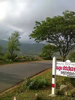 Kadur Road | |
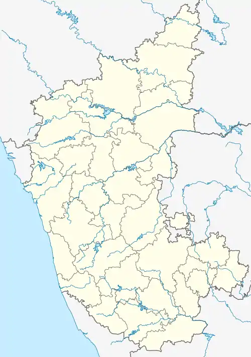  Kaduru Location in Karnataka, India | |
| Coordinates: 13.553345°N 76.011260°E | |
| Country |  India India |
| State | Karnataka |
| District | Chikkamagaluru |
| Elevation | 763 m (2,503 ft) |
| Population (2011) | |
| • Total | 35,834 |
| Languages | |
| • Official | Kannada |
| Time zone | UTC+5:30 (IST) |
| PIN | 577548 |
| Vehicle registration | KA-66 |
Demographics
As of 2001 India census,[2] Kadur had a population of 35436. Males constitute 51% of the population and females 49%. Kadur has an average literacy rate of 68%, higher than the national average of 59.5%: male literacy is 73%, and female literacy is 63%. In Kadur, 12% of the population is under 6 years of age.
References
- Falling Rain Genomics, Inc - Kaduru
- "Census of India 2001: Data from the 2001 Census, including cities, villages and towns (Provisional)". Census Commission of India. Archived from the original on 16 June 2004. Retrieved 1 November 2008.
Transportation
- This article incorporates text from a publication now in the public domain: Chisholm, Hugh, ed. (1911). "Kadur". Encyclopædia Britannica (11th ed.). Cambridge University Press.
This article is issued from Wikipedia. The text is licensed under Creative Commons - Attribution - Sharealike. Additional terms may apply for the media files.