Kaingaroa, Northland
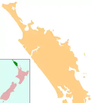
Kaingaroa is a locality in the Far North District of New Zealand. It lies on State Highway 10 north-east of Awanui and Kaitaia, and south-west of Karikari Peninsula.
Kaingaroa | |
|---|---|
  Kaingaroa | |
| Coordinates: 35°1′35″S 173°19′43″E | |
| Country | New Zealand |
| Region | Northland Region |
| District | Far North District |
Education
Kaingaroa School is a coeducational full primary (years 1–8) school with a decile rating of 3 and a roll of 159.[1] The school realised in December 2007 that it was becoming too large for its facilities, but it is physically unable to expand. One suggested solution is the establishment of an enrolment zone for the school.[2]
Notes
- "Te Kete Ipurangi". Ministry of Education. Archived from the original on 29 September 2007. Retrieved 17 January 2008.
- "Taipa Area School - enrolment zone issue".
This article is issued from Wikipedia. The text is licensed under Creative Commons - Attribution - Sharealike. Additional terms may apply for the media files.