Dashalty
Dashalty (Azerbaijani: Daşaltı) or Karin Tak (Armenian: Քարին Տակ) is a village in the Shusha District of Azerbaijan.
Dashalty / Karin Tak
Daşaltı / Քարին Տակ | |
|---|---|
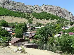 Village in June 2015 | |
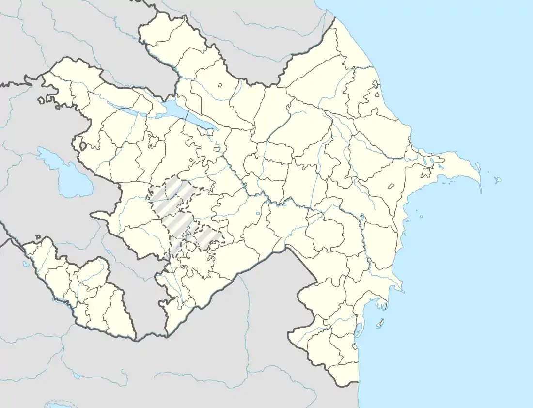  Dashalty / Karin Tak 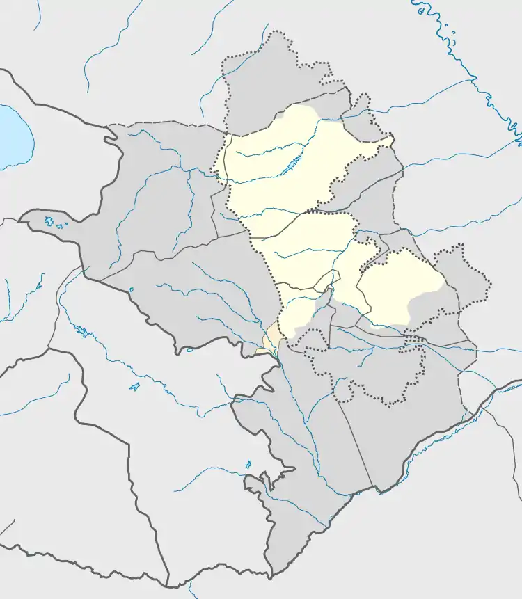 Dashalty / Karin Tak | |
| Coordinates: 39°44′30″N 46°44′57″E | |
| Country |  Azerbaijan Azerbaijan
 Republic of Artsakh (claimed) Republic of Artsakh (claimed) |
| District | Shusha |
| Population (2015)[1] | |
| • Total | 660 |
| Time zone | UTC+4 (AZT) |
The village had an ethnic Armenian-majority population prior to the 2020 Nagorno-Karabakh war, and also had an Armenian majority in 1989.[2] The old town square is relatively well preserved, showing some traditional pre-Soviet architecture of the region. There is also a plain village church that was restored by Land and Culture Organization volunteers in 1999–2000. It was originally built in 1816 in the place of a previously existing chapel.[3]
About 3 km downriver there is a mossy waterfall named "Zontik" (Russian: Зонтик, literally, "Umbrella"), because of its resemblance to an umbrella in the rain. The village is an overnight stopping point along the Janapar hiking trail.
Etymology
Both the Azerbaijani and Armenian names of the village mean below-the-rock, referring to the sheer vertical cliffs towering above the village, on top of which Shusha is built.
History
During the Soviet period, the village was a part of the Shusha District of the Nagorno-Karabakh Autonomous Oblast.
The village was captured by the Armenian forces on 15 May 1991 during the First Nagorno-Karabakh War and was made part of Shushi Province of the self-proclaimed Republic of Artsakh.
Shusha, which is located just above the village, was the last Azerbaijani stronghold in the mountainous part of Karabakh to be captured by the Armenians in the First Nagorno-Karabakh war.[4] On January 26, 1992 Azerbaijani Defense Minister Mehdiyev "led a disastrous sortie out of Shusha to capture the Armenian village of Karintak",[5] in which dozens of Azerbaijani soldiers died.[6]
During the 2020 Nagorno-Karabakh war, Azerbaijani troops recaptured the village on 9 November 2020, and after that, the city of Shusha itself.[7]
Gallery
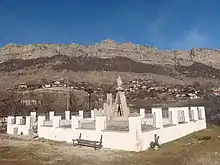 WWII memorial in the village
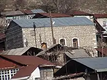 St. Astvatsatsin Church in the village
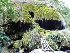 "Zontik" (Umbrella) waterfall in the Karkar Canyon
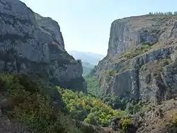 Karkar river canyon
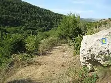 Section of Janapar hiking trail passing by the village
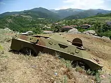 A destroyed military vehicle in the village
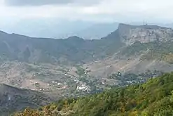 General view
References
- Hakob Ghahramanyan. "Directory of socio-economic characteristics of NKR administrative-territorial units (2015)".
- Андрей Зубов. "Андрей Зубов. Карабах: Мир и Война". drugoivzgliad.com.
- Mkrtchyan, Shahen. Historical-Architectural Monuments of Nagorno Karabagh. Yerevan, 1989. (Շահեն Մկրտչյան, «Լեռնային Ղարաբաղի պատմաճարտարապետական հուշարձանները»)
- Carey Goldberg (1992-05-10). "Armenians Capture Key Karabakh Town : Republics: Both sides agree the fall of the last Azerbaijani stronghold marks a turning point in the four-year struggle over the disputed enclave". Los Angeles Times. Retrieved 2011-09-27.
- Black Garden, Thomas de Waal, page 176
- Black Garden, Thomas de Waal, page 292
- https://mod.gov.az/az/news/isgaldan-azad-olunan-seher-kend-ve-qesebelerimiz-28583.html
External links
 |
Wikimedia Commons has media related to Daşaltı (Şuşa). |
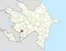
Capital: Shushi | ||
| Urban comunities |  | |
| Rural comunities | ||