Khulna District
Khulna District (Bengali: খুলনা জেলা, Khulna Jela also Khulna Zila) is a district of Bangladesh. It is located in the Khulna Division. It is bordered on the north by the Jessore District and the Narail District, on the south by the Bay of Bengal, on the east by the Bagerhat District, and on the west by the Satkhira District.[2]
Khulna district
খুলনা জেলা | |
|---|---|
.jpg.webp)  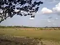 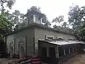  Clockwise from top-left: House of Rabindranath Tagore's father-in-law, Bamboo transported on the Poshur, Ten Dome Mosque, Rupsa Bridge, View of fields near Chalna | |
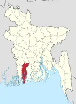 Location of Khulna District in Bangladesh | |
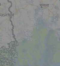
Expandable map of Khulna District | |
| Coordinates: 22.35°N 89.30°E | |
| Country |  Bangladesh Bangladesh |
| Division | Khulna Division |
| Government | |
| • Deputy Commissioner | Mohammad Helal Hossain, PAA |
| Area | |
| • Total | 4,389.11 km2 (1,694.64 sq mi) |
| Population (2011 census) | |
| • Total | 3,118,527 |
| • Density | 710/km2 (1,800/sq mi) |
| Literacy rate | |
| • Total | 72.81% |
| Time zone | UTC+06:00 (BST) |
| Postal code | 9000 |
| HDI (2019) | 0.690[1] medium · 3rd of 20 |
| Website | www |
Demographics
At the time of the 2011 census, Khulna district had a population of 2318527 of which 1175686 were males and 1142841 were females. 66.46% of the population lived in rural areas while 33.54% of the population lived in urban areas. The literacy rate was 60.14%: for males it was 64.32% while for females it was 55.85%.[3]
76.63% of the population was Muslim and 22.72% Hindu at the time of the 2011 census. There was a small minority of Christians as well which was 0.66% of the population.
Geography and climate
Khulna District has a total area of 4,389.11 square kilometres (1,694.64 sq mi).[4] It borders Jessore District to the north, Narail District to the northeast, Bagerhat District to the east, the Bay of Bengal to the south, and Satkhira District to the west.[2]
Major rivers of Khulna District are the Rupsa (a continuation of the Bhairab and Atrai), Arpangachhia, Shibsa, Pasur, and the Koyra.[2]
Education
The district contains educational institutions including:
- School
- Government Coronation Secondary Girls' School
- Government Daulatpur Muhsin High School
- Khulna Zilla School
Colleges
- Govt Majid Memorial City College
- khulna Government Model School and Collage
Universities
See also
References
 |
Wikimedia Commons has media related to Khulna District. |
- "Sub-national HDI - Area Database". Global Data Lab. Retrieved 2020-03-18.
- Sandipak Mallik (2012). "Khulna District". In Sirajul Islam and Ahmed A. Jamal (ed.). Banglapedia: National Encyclopedia of Bangladesh (Second ed.). Asiatic Society of Bangladesh.
- "Bangladesh Population & Housing Census 2011(Zila aeries)". Bangladesh Bureau of Statistics.
- "District Statistics 2011: Khulna" (PDF). Bangladesh Bureau of Statistics. Retrieved October 29, 2017.
Capital: Khulna | ||
| Upazilas/Thanas | | |
| Constituencies | ||
| Attractions and sites | ||
| Education | ||
| Barisal Division | 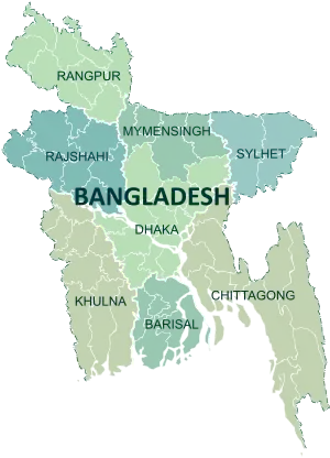 | |
|---|---|---|
| Chittagong Division | ||
| Dhaka Division | ||
| Khulna Division | ||
| Mymensingh Division | ||
| Rajshahi Division | ||
| Rangpur Division | ||
| Sylhet Division | ||
Authority control  | |
|---|---|
| General | |
| National libraries | |
| Other | |