Kimsa Tinkuy
Kimsa Tinkuy (Quechua kimsa three, to meet, meeting,[2] (also related to the confluence of rivers) "three meetings", also spelled Quimsa Tincuy, Quimsa Ticuy) is a mountain in the Bolivian Andes which reaches a height of approximately 4,720 m (15,490 ft). It is located in the Cochabamba Department, Quillacollo Province, Quillacollo Municipality. Kimsa Tinkuy lies northwest to west of Awila Wachana Punta and southeast of Quna Quna Q'asa.[1][3]
| Kimsa Tinkuy | |
|---|---|
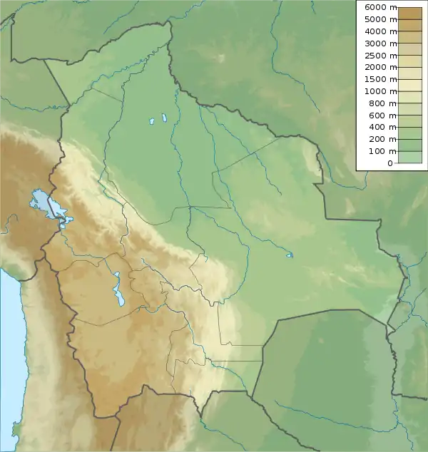  Kimsa Tinkuy Location within Bolivia | |
| Highest point | |
| Elevation | 4,720 m (15,490 ft)[1] |
| Coordinates | 17°13′14″S 66°18′07″W |
| Geography | |
| Location | Bolivia, Cochabamba Department |
| Parent range | Andes |
References
- Bolivia 1:100,000 Quillacollo 3636, Map prepared and published by the Defense Mapping Agency, Hydrographic/Topographic Center, Bethesda, MD (unnamed)
- Diccionario Quechua - Español - Quechua (PDF). Gobierno Regional del Cusco, Perú: Academía Mayor de la Lengua Quechua. 2005 https://indigenasdelperu.files.wordpress.com/2015/09/diccionario-qeswa-academia-mayor-cuzco.pdf. Missing or empty
|title=(help) (5-vowel-system) - "Quillacollo". INE, Bolivia. Archived from the original on April 9, 2016. Retrieved April 2, 2016.
Capital: Cochabamba | ||
| Provinces | 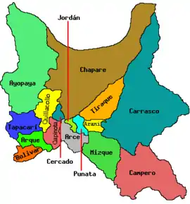 | |
| Municipalities (and seats) |
| |


This article is issued from Wikipedia. The text is licensed under Creative Commons - Attribution - Sharealike. Additional terms may apply for the media files.