Konta
Konta is a tehsil headquarters in Sukma district, Chhattisgarh, India. Konta is a model town.
Konta | |
|---|---|
town | |
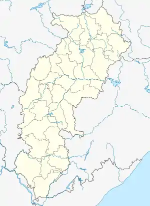  Konta 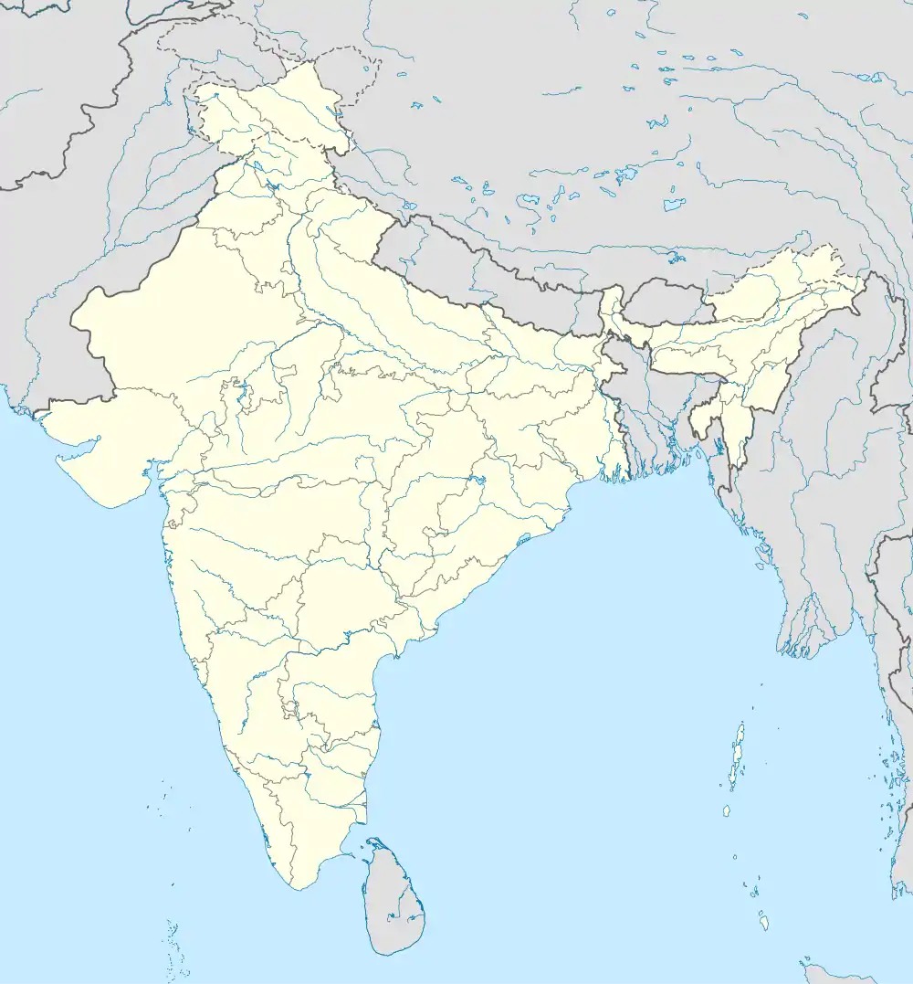 Konta | |
| Coordinates: 17°48′0″N 81°23′0″E | |
| Country | India |
| State | Chhattisgarh |
| District | Sukma |
| Elevation | 50 m (160 ft) |
| Population | |
| • Total | 7,038 |
| Languages | |
| • Official | Hindi, Chhattisgarhi |
| • Other | Koya, Telugu, Gondi and Hindi |
| Time zone | UTC+5:30 (IST) |
| Vehicle registration | CG |
| Coastline | 0 kilometres (0 mi) |
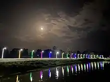
Konta by night
Geography
It is located at 17°48′0″N 81°23′0″E, at an elevation of 50 m above msl.[1]
Location
Konta is connected to Jagdalpur and Vijayawada by the National Highway 221. It is near the state border with Andhra Pradesh. The nearest airport is Vijayawada Airport.
References
- "Maps, Weather, and Airports for Konta, India". www.fallingrain.com. Retrieved 7 August 2021.
External links
- "Konta in India". www.india9.com. Retrieved 7 August 2021.
This article is issued from Wikipedia. The text is licensed under Creative Commons - Attribution - Sharealike. Additional terms may apply for the media files.