Lower Nihotupu Reservoir
The Lower Nihotupu Reservoir (or Lower Nihotupu Dam) is one of five reservoirs in the Waitākere Ranges that supply water to Auckland. Built between 1945 and 1948,[2] the reservoir covers an area of 52.9 hectares and has a capacity of 4.6 million cubic metres.[1] The reservoir is managed by Watercare Services, a council-owned company.
| Lower Nihotupu Reservoir | |
|---|---|
 Looking south, the reservoir from the Rainforest Express bush tram line. | |
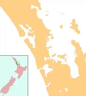  Lower Nihotupu Reservoir | |
| Location | Auckland, North Island |
| Coordinates | 36°57′32″S 174°36′48″E |
| Type | Reservoir |
| Basin countries | New Zealand |
| Surface area | 52.9 ha (131 acres)[1] |
| Water volume | 4.60×10⁶–4.81×10⁶ m3 (3,730–3,900 acre⋅ft)[2][1] |
The dam is credited as one of the first applied examples of the soil mechanics science in New Zealand, and was soon followed by the creating of engineering geology as a major subject at the University of Auckland Faculty of Engineering.[2]
Underneath the reservoir is Paruroa, the site of the main base of the Te Taoū hapū of Ngāti Whātua, who were warring with Te Waiohua, the dominant force in Tāmaki Makaurau in the early 18th Century.[3][4] Years of conflict culminated in the early 1740s, when Kiwi Tāmaki, the ariki of Waiohua, was defeated at Paruroa, leading to Ngāti Whātua becoming the main political force on Tāmaki Makaurau.[3][4]
References
- (from the Water Care Services website. Accessed 2013-09-24.)
- Engineering to 1990 — IPENZ, Engineering Publications Co Ltd, Page 8-9
- "The Muddy Creeks Plan - a Local Area Plan for Parau, Laingholm, Woodlands Park and Waimā" (PDF). Auckland Council. 13 February 2014. Retrieved 28 June 2021.
- Fox, Aileen (1977). "Pa of the Auckland Isthmus: An Archaeological Analysis". Records of the Auckland Institute and Museum. 14: 1–24. ISSN 0067-0464.
 |
Wikimedia Commons has media related to Lower Nihotupu Dam. |