Makotuku River
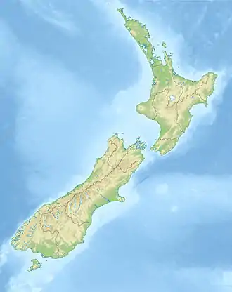
The Makotuku River is a river of the west of New Zealand's North Island. It flows southwest from the slopes of Mount Ruapehu and passes through the town of Raetihi before its confluence with the Mangawhero River.
| Makotuku River | |
|---|---|
  | |
| Etymology | Maori meaning "white heron stream" |
| Native name | Mākōtuku (Māori) |
| Location | |
| Country | New Zealand |
| Region | Manawatū-Whanganui |
| District | Ruapehu District |
| Settlements | Horopito, Raetihi |
| Physical characteristics | |
| Source | Mount Ruapehu |
| • location | Sunset Ridge, Tūroa skifield |
| • coordinates | 39°18′7″S 175°31′44″E |
| • elevation | 1,700 metres (5,600 ft) |
| Mouth | Mangawhero River |
• coordinates | 39°28′8″S 175°18′4″E |
• elevation | 455 metres (1,493 ft) |
| Length | 40 km (25 mi) |
| Basin features | |
| Progression | Makotuku River → Mangawhero River → Whangaehu River |
| River system | Whangaehu River |
The New Zealand Ministry for Culture and Heritage gives a translation of "white heron stream" for Mākōtuku.[1]
See also
References
- "1000 Māori place names". New Zealand Ministry for Culture and Heritage. 6 August 2019.
External links
"Place name detail: Makotuku River". New Zealand Gazetteer. New Zealand Geographic Board. Retrieved 12 July 2009.
This article is issued from Wikipedia. The text is licensed under Creative Commons - Attribution - Sharealike. Additional terms may apply for the media files.