Mangadu
Mangadu is a western neighborhood of Chennai, India. Literally meaning a mango forest, Mangadu is about 18 km from Chennai Central railway station, 14 km from Chennai International Airport and 13 km from CMBT. Mangadu Municipality was established on 24 August 2021 by annexing the villeges of Iyyapanthangal, Moulivakkam, Sikkarayapuram, Paraniputhur, Kozhumanivakkam, Malayambakkam.
Mangadu (Chennai) | |
|---|---|
Neighbourhood | |
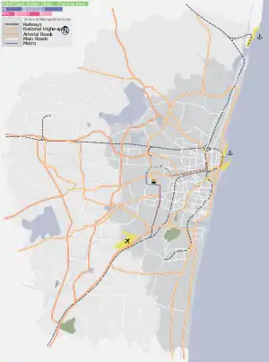  Mangadu (Chennai) Mangadu(Chennai)  Mangadu (Chennai) Mangadu (Chennai) (Tamil Nadu)  Mangadu (Chennai) Mangadu (Chennai) (India) | |
| Coordinates: 13.039675°N 80.109717°E | |
| Country |  India India |
| State |  Tamil Nadu Tamil Nadu |
| Metro | Chennai |
| Government | |
| • Type | Municipality |
| • Body | Mangadu Municipality(மாங்காடு நகராட்சி) |
| Area | |
| • Total | 8.40 km2 (3.24 sq mi) |
| Population (2011) | |
| • Total | 38,188 |
| • Density | 4,500/km2 (12,000/sq mi) |
| Languages | |
| • Official | Tamil |
| Time zone | UTC+5:30 (IST) |
| PIN | 600122,600123, 600125, 600056, 600069. |
| Vehicle registration | TN 85 (RTO, Kundrathur ), TN 12 (RTO, Poonamallee ) |
Demographics
As of 2011 India census,[1] Mangadu had a population of 38188. Males constitute 49% of the population and females 51%. Mangadu has an average literacy rate of 86.91%, higher than the national average of 80.6%: male literacy is 91.77%, and female literacy is 82.05%. In Mangadu, 11% of the population is under 6 years of age.
Religion
Kamakshi Amman Temple, Mangadu and Velleswarar Temple, Mangadu are the temples in the area.
Facilities
- Government Primary Health Centre, Mangadu
Chennai Metro Rail
The proposed Chennai Metro Phase 2 Corridor 4 links Poonamallee with Light House. The proposed Kumanamchavadi and Kattupakkam metro stations will be around 2 kilometres from Mangadu Bus Terminal.
Educational Institutions
Schools
- Maharishi Vidya Mandir School CBSE
- Velammal Vidyalaya CBSE
- Rishs International School CBSE
- Mangadu Public School CBSE
- Padma Subramanium Bala Bhavan Matriculation Higher Secondary School
- Nav Bharat Matriculation Higher Secondary School
- National IT International Matriculation Higher Secondary School
- Government Higher Secondary School
- Government Primary School
- Government Primary School, Kozhumanivakkam Mangadu
- Government Primary School, Pattur Mangadu
- Government Muslim High School
- Government Adidravida Welfare School
- St. Marys Matriculation School
- Little Flower Matriculation School
Colleges
- Sri Muthukumaran Medical College Hospital
Nearby Areas
Places adjacent to Mangadu | ||||||||||||||||
|---|---|---|---|---|---|---|---|---|---|---|---|---|---|---|---|---|
| ||||||||||||||||


References
- "Census of India 2011: Data from the 2011 Census, including cities, villages and towns (Provisional)". Census Commission of India. Archived from the original on 16 June 2004. Retrieved 1 November 2008.