Marakkara
Marakkara is a village in Kuttippuram Block Panchayat, Tirur Taluk, Malappuram district in the state of Kerala, India.[1]
Marakkara
Marakkara | |
|---|---|
Grama Panchayath | |
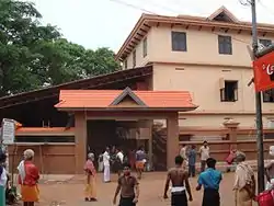 Kadampuzha Temple is in Marakkara Panchayath | |
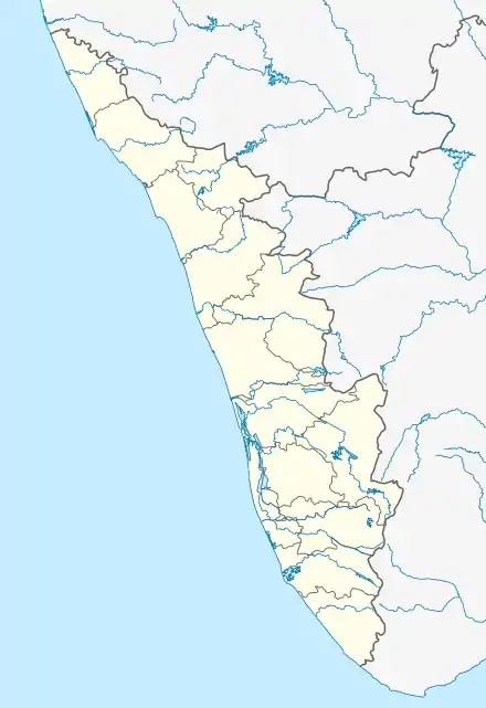  Marakkara Location in Kerala, India  Marakkara Marakkara (India) | |
| Coordinates: 10°57′0″N 76°2′0″E | |
| Country |  India India |
| State | Kerala |
| District | Malappuram |
| Government | |
| • Type | Grama pachayath |
| Population (2011) | |
| • Total | 40,404 |
| Languages | |
| • Official | Malayalam, English |
| Time zone | UTC+5:30 (IST) |
| PIN | 676553 |
| Vehicle registration | KL-55,KL-10 |
Kadampuzha Temple
The famous Kadampuzha Devi Temple is situated inside the Marakkara panchayath.
Transportation
Marakkara village connects to other parts of India through Kottakkal town. National highway No.66 passes through Tanur and the northern stretch connects to Goa and Mumbai. The southern stretch connects to Cochin and Trivandrum. State Highway No.28 starts from Nilambur and connects to Ooty, Mysore and Bangalore through Highways.12,29 and 181. National Highway No.966 connects to Palakkad and Coimbatore. The nearest airport is at Kozhikode. The nearest major railway station is at Tirur.
Demographics
As of 2001 India census, Marakkara had a population of 15836 with 7377 males and 8459 females.[1]
See also
Administration
Marakkara is a grama Panchayat
Villages
1.Marakkara, 2.Melmuri
Wards
1.Randathani, 2.Marakkara, 3.Erkkara, 4.Maruthinchira, 5.Melmuri, 6.Parappur, 7.Karekkad North, 8.Chithrampally, 9.Majeed kundu, 10.Jarathingal, 11.Malayil, 12.Neeradi, 13.Pilathara, 14.Kadampuzha, 15.Chullikkad, 16.A.C.nirapp, 17.Kallarmangalam, 18.Chelakuth, 19.Poovanchina, 20.Attuppuram
References
- "Census of India : Villages with population 5000 & above". Registrar General & Census Commissioner, India. Archived from the original on 8 December 2008. Retrieved 10 December 2008.