Mary Street, Dublin
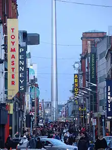
Mary Street is a street in Dublin in the Republic of Ireland that runs from Capel Street in the east to the junction of Henry Street and Liffey Street Upper in the east. It is crossed by Upper Jervis Lane, Wolfe Tone Street, and Jervis Street.
 | |||
  | |||
| Native name | Sráid Mhuire (Irish) | ||
|---|---|---|---|
| Namesake | St Mary's Church | ||
| Length | 300 m (1,000 ft) | ||
| Width | 14 metres (46 ft) | ||
| Location | Dublin, Ireland | ||
| Postal code | D01 | ||
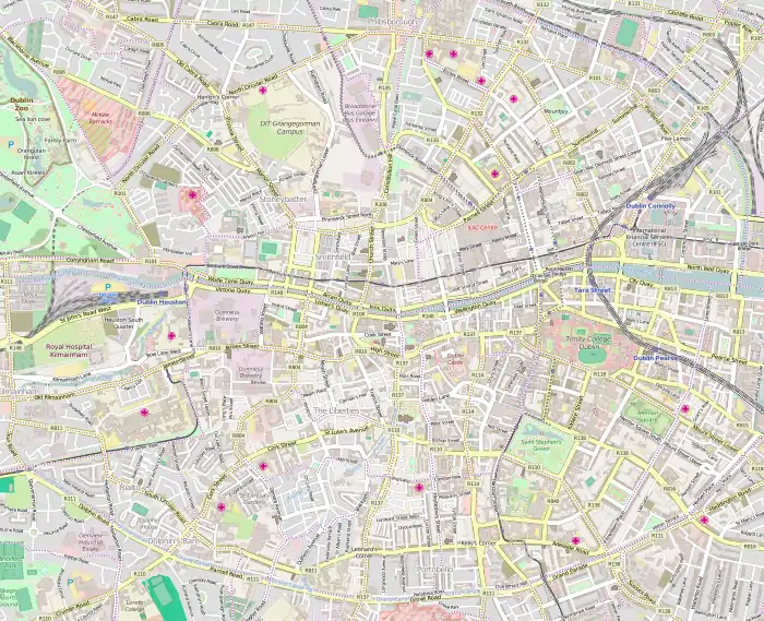
| Coordinates | 53.348794°N 6.266571°W | ||
| west end | Capel Street | ||
| east end | Henry Street, Liffey Street Upper | ||
The street is part of the area developed by Humphrey Jervis after 1674 and is located in what was one of the richest parishes in the city.[1]
The former St Mary's Church is located in the street, and was built on land donated by Jervis.
References
- Usher, Robin. (2012). Protestant Dublin, 1660-1760: Architecture and Iconography. Basingstoke: Palgrave Macmillan. p. 109. ISBN 978-0-230-36216-1.
External links
 |
Wikimedia Commons has media related to Mary Street, Dublin. |
This article is issued from Wikipedia. The text is licensed under Creative Commons - Attribution - Sharealike. Additional terms may apply for the media files.