Meso Island
Meso Island is an island in the Detroit River.[2] It is in Wayne County, in southeast Michigan. Its coordinates are 42°05′30″N 83°09′10″W[1], and the United States Geological Survey gave its elevation as 584 ft (178 m) in 1980.[1] Numerous types of fish spawn at the island; a 1982 report by the U.S. Fish and Wildlife Service listed northern pike,[3]: 10 carp,[3]: 13 bullhead catfish,[3]: 19 rock bass,[3]: 22 and bluegill.[3]: 23
 USGS aerial imagery of Meso Island | |
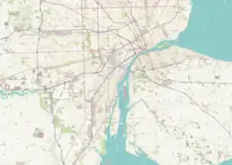  Meso Island 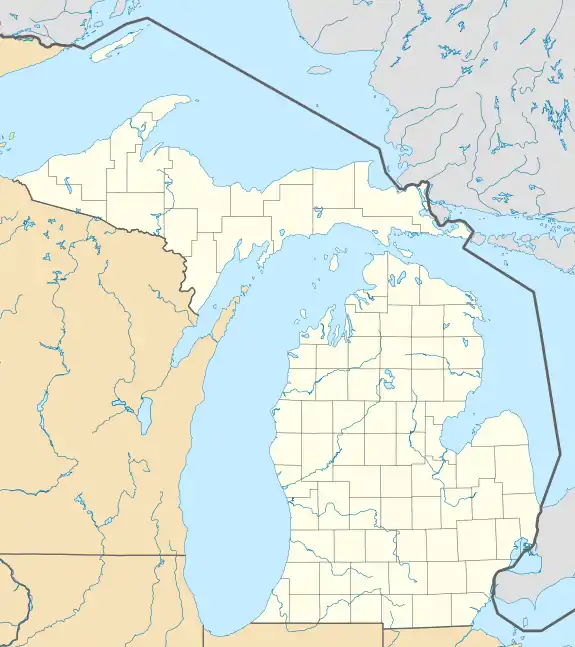 Meso Island  Meso Island | |
| Geography | |
|---|---|
| Location | Michigan |
| Coordinates | 42°05′30″N 83°09′10″W[1] |
| Highest elevation | 584 ft (178 m)[1] |
| Administration | |
United States | |
| State |  Michigan Michigan |
| County | Wayne |
References
- U.S. Geological Survey Geographic Names Information System: Meso Island
- "The Detroit River". Detroit River Coalition. Retrieved 2021-05-20.
- "Atlas of Spawning and Nursery Areas of Great Lakes Fishes: Volume VIII, Detroit River". U. S. Fish and Wildlife Service Office of Biological Services. September 1, 1982 – via Google Books.
This article is issued from Wikipedia. The text is licensed under Creative Commons - Attribution - Sharealike. Additional terms may apply for the media files.