Minapata
Minapata (Spanish mina mine, Quechua pata elevated place; above, at the top; edge, bank (of a river), shore)[2][3] is a mountain in the southern part of the Cordillera Blanca in the Andes of Peru, about 5,400 m (17,700 ft) high . It is located in the Ancash Region, Bolognesi Province, Aquia District, and in the Recuay Province, Catac District. Minapata lies south of Challwa and northeast of Qiwllarahu.[1]
| Minapata | |
|---|---|
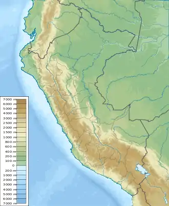  Minapata Peru | |
| Highest point | |
| Elevation | 5,400 m (17,700 ft)[1] |
| Coordinates | 9°57′06″S 77°13′35″W |
| Geography | |
| Location | Peru, Ancash Region |
| Parent range | Andes, Cordillera Blanca |
See also
References
- escale.minedu.gob.pe - UGEL map of the Recuay Province (Ancash Region)
- Diccionario Quechua - Español - Quechua (PDF). Gobierno Regional del Cusco, Perú: Academía Mayor de la Lengua Quechua. 2005 https://indigenasdelperu.files.wordpress.com/2015/09/diccionario-qeswa-academia-mayor-cuzco.pdf. Missing or empty
|title=(help) - Teofilo Laime Ajacopa (2007). Diccionario Bilingüe Iskay simipi yuyayk’anch [Quechua-English dictionary] (PDF). La Paz, Bolivia.
This article is issued from Wikipedia. The text is licensed under Creative Commons - Attribution - Sharealike. Additional terms may apply for the media files.