Montceaux-lès-Meaux
Montceaux-lès-Meaux is a commune in the Seine-et-Marne department in the Île-de-France region in north-central France.
Montceaux-lès-Meaux | |
|---|---|
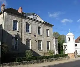 The town hall in Montceaux-lès-Meaux | |
Location of Montceaux-lès-Meaux 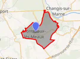
| |
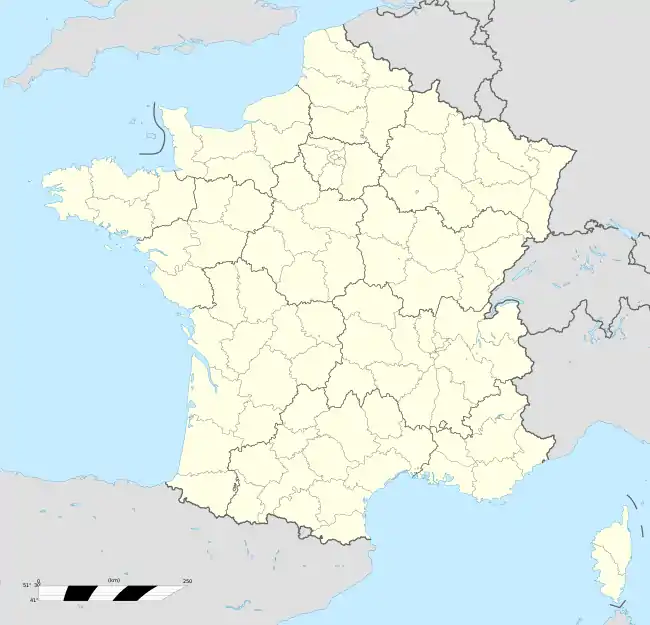  Montceaux-lès-Meaux 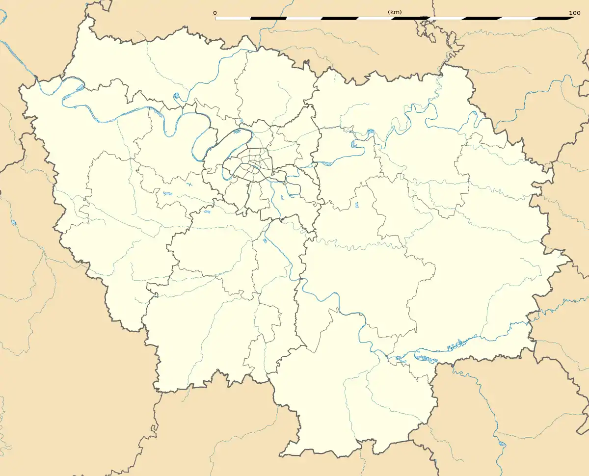 Montceaux-lès-Meaux | |
| Coordinates: 48°56′28″N 2°59′08″E | |
| Country | France |
| Region | Île-de-France |
| Department | Seine-et-Marne |
| Arrondissement | Meaux |
| Canton | La Ferté-sous-Jouarre |
| Intercommunality | Pays de Meaux |
| Government | |
| • Mayor (2020–2026) | Michel Belin[1] |
| Area 1 | 4.72 km2 (1.82 sq mi) |
| Population | 602 |
| • Density | 130/km2 (330/sq mi) |
| Time zone | UTC+01:00 (CET) |
| • Summer (DST) | UTC+02:00 (CEST) |
| INSEE/Postal code | 77300 /77470 |
| Elevation | 86–172 m (282–564 ft) |
| 1 French Land Register data, which excludes lakes, ponds, glaciers > 1 km2 (0.386 sq mi or 247 acres) and river estuaries. | |
Château de Montceaux
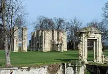
Montceaux is known for the former château, which Henri II gave to Catherine de' Medici in 1556 and was her earliest building project. The building consisted of a central pavilion housing a straight staircase, and two wings with a pavilion at each end. Catherine wanted to cover the alley in the garden where Henry played pall-mall, an early form of croquet. For this commission, Philibert de l'Orme built her a grotto set on a base made to look like natural rock, from which guests could watch the games while taking refreshments. The work was completed in 1558 but has not survived.[3] Given by Henri IV to Marie de' Medici, the château ceased to be used as a royal residence after 1640, and had fallen into ruin by the time it was demolished by revolutionary decree in 1798.[4] Some ruins remain, a chapel and the buildings of the forecourt, transformed into private dwellings; parts of the east wing are farm buildings.[5]
The château is listed as a Monument historique since 2005 by the French Ministry of Culture.[6]
Demographics
Inhabitants are called Monticellois.
References
- "Répertoire national des élus: les maires". data.gouv.fr, Plateforme ouverte des données publiques françaises (in French). 2 December 2020.
- "Populations légales 2018". The National Institute of Statistics and Economic Studies. 28 December 2020.
- Knecht, 228–229.
- Coope, "The Chateau of Montceaux-en-Brie", 71–87.
- Coordinates of the château 48°56′41″N 2°59′8″E. From Géoportail
- Base Mérimée: PA00087113, Ministère français de la Culture. (in French)
External links
 |
Wikimedia Commons has media related to Montceaux-lès-Meaux. |
- 1999 Land Use, from IAURIF (Institute for Urban Planning and Development of the Paris-Île-de-France région) (in English)
- Base Mérimée: Search for heritage in the commune, Ministère français de la Culture. (in French)