Mount Barnard (Canada)
Mount Barnard is located on the border of Alberta and British Columbia, NW of the head of Waitabit Creek and North of Golden.[5] It is the 30th highest peak in Alberta and the 42nd highest peak in British Columbia. It was named in 1917 by boundary surveyors after Sir Francis Stillman Barnard, a Lieutenant Governor of BC during the 1910s.[5][1][3][6] It should not be confused with the higher Californian peak of the same name.
| Mount Barnard | |
|---|---|
  Mount Barnard Location in Alberta and British Columbia 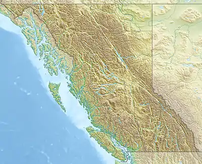 Mount Barnard Mount Barnard (British Columbia) | |
| Highest point | |
| Elevation | 3,339 m (10,955 ft)[1][2] |
| Prominence | 947 m (3,107 ft)[3] |
| Parent peak | Mount Forbes (3612 m)[3] |
| Listing | |
| Coordinates | 51°42′33″N 116°55′22″W[4] |
| Geography | |
| Country | Canada |
| Provinces | Alberta and British Columbia |
| Protected area | Banff National Park |
| Parent range | Park Ranges |
| Topo map | NTS 82N10 Blaeberry River[4] |
| Climbing | |
| First ascent | 1922 Howard Palmer, J. Monroe Thorington, Edward Feuz Jr.[1] |
See also
References
- "Mount Barnard". PeakFinder.com. Retrieved 2019-08-20.
- "Topographic map of Mount Barnard". opentopomap.org. Retrieved 2021-09-02.
- "Mount Barnard". Bivouac.com. Retrieved 2021-09-02.
- "Mount Barnard". Geographical Names Data Base. Natural Resources Canada. Retrieved 2021-09-02.
- "Mount Barnard". BC Geographical Names. Retrieved 2021-09-02.
- Boles, Glen W.; Laurilla, Roger W.; Putnam, William L. (2006). Canadian Mountain Place Names. Vancouver: Rocky Mountain Books. p. 37. ISBN 978-1-894765-79-4.
This article is issued from Wikipedia. The text is licensed under Creative Commons - Attribution - Sharealike. Additional terms may apply for the media files.