Tabankulu
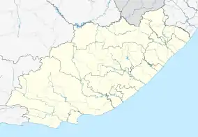
Tabankulu is a town in Alfred Nzo District Municipality in the Eastern Cape province of South Africa.
Tabankulu or Ntabankulu
Ntabankulu | |
|---|---|
  Tabankulu or Ntabankulu 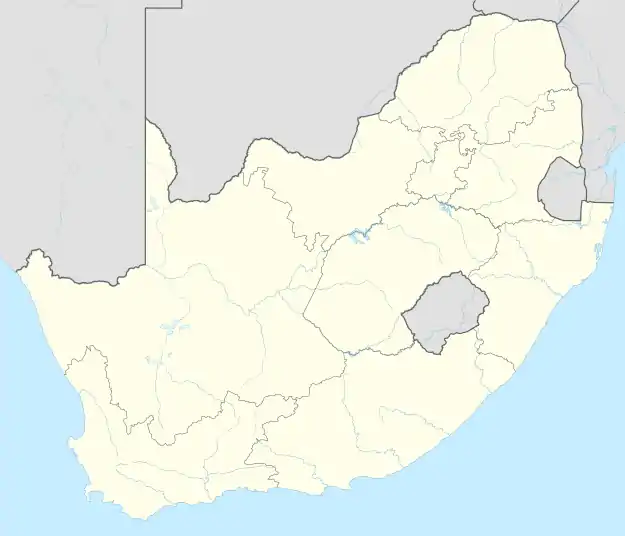 Tabankulu or Ntabankulu | |
| Coordinates: 30.9584°S 29.3027°E | |
| Country | South Africa |
| Province | Eastern Cape |
| District | Alfred Nzo |
| Municipality | Ntabankulu |
| Area | |
| • Total | 19.51 km2 (7.53 sq mi) |
| Population (2011)[1] | |
| • Total | 3,266 |
| • Density | 170/km2 (430/sq mi) |
| Racial makeup (2011) | |
| • Black African | 96.7% |
| • Coloured | 1.3% |
| • Indian/Asian | 0.8% |
| • White | 0.1% |
| • Other | 1.1% |
| First languages (2011) | |
| • Xhosa | 92.3% |
| • English | 2.5% |
| • Other | 5.2% |
| Time zone | UTC+2 (SAST) |
| Area code | 039 |
Village some 30km east-south-east of Mount Frere and 50km south-south-west of Kokstad. Of Xhosa origin, the name means 'large mountain'. The village was laid out in 1894.[2]
Tabankulu is a small village in Africa. It has a population of around 5,000. They are a well off village that are relatively poor, but have enough necessities to survive. However, tabankulu has a major issue, and that is the menstruales hygiene of the women, which make up 54.4%. Many women struggle with cleaning themselves and maintaining basic integrity during their menstrual cycle. Many younger girls even skip school, which is detrimental to their education.
References
- "Main Place Tabankulu or Ntabankulu". Census 2011.
- "Dictionary of Southern African Place Names (Public Domain)". Human Science Research Council. p. 425.
Municipalities and communities of Alfred Nzo District Municipality, Eastern Cape | ||
|---|---|---|
District seat: Mount Ayliff | ||
| Matatiele | .svg.png.webp) Alfred Nzo District within South Africa | |
| Umzimvubu | ||
| Mbizana | ||
| Ntabankulu | ||
This article is issued from Wikipedia. The text is licensed under Creative Commons - Attribution - Sharealike. Additional terms may apply for the media files.