Olifantsfontein
Olifantsfontein, also known as Clayville, is a small town on the East Rand in the Gauteng Province of South Africa. It is located at the north-western corner of the City of Ekurhuleni Metropolitan Municipality, just north of the Thembisa township. As of the 2011 Census, the town has a population of 14,526 people.[1]
Olifantsfontein
Clayville | |
|---|---|
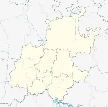  Olifantsfontein  Olifantsfontein  Olifantsfontein | |
| Coordinates: 25.9581°S 28.2164°E | |
| Country | South Africa |
| Province | Gauteng |
| Municipality | Ekurhuleni |
| Area | |
| • Total | 14.05 km2 (5.42 sq mi) |
| Population (2011)[1] | |
| • Total | 14,526 |
| • Density | 1,000/km2 (2,700/sq mi) |
| Racial makeup (2011) | |
| • Black African | 91.73% |
| • White | 5.72% |
| • Coloured | 1.77% |
| • Indian/Asian | 0.32% |
| • Other | 0.46% |
| First languages (2011) | |
| • Northern Sotho | 25.58% |
| • Zulu | 18.07% |
| • Sotho | 9.16% |
| • Tsonga | 8.55% |
| • Other | 38.64% |
| Time zone | UTC+2 (SAST) |
| Postal code (street) | 1666 |
| PO box | 1665 |
| Area code | 011 |
Olifantsfontein is divided into 3 main suburbs, namely Clayville East (the entire area east of the passing Metrorail Line), Clayville Industrial (the entire area south of View Road, with many industrial operations) and Clayville CBD with its extensions (the area north of View Road).[2][3]
The R562 Road (Olifantsfontein Road) forms the boundary between Clayville and the Thembisa Township. Clayville also has the Irene Village to the north and Midrand to the west as its neighbours.
Transport
Road
The R562 Road (Olifantsfontein Road), which forms the boundary between Clayville and Thembisa, connects both towns to Midrand in the west.[2][3]
The main north-south route through Clayville is the M18 Route, which connects the Clayville CBD with Irene and Centurion in the north and with the Thembisa CBD in the south.[2][3]
Clayville is bypassed to the east by two main routes, namely the M57 Route and the R21 e-toll Highway. Both roads connect Clayville with Kempton Park in the south and with Pretoria in the north.[2][3]
Rail
Olifantsfontein has a station on the main Metrorail Route between Pretoria in the north and Johannesburg (via Kempton Park & Germiston) in the south.[4]
References
- "Census 2011: Main Place: Clayville". census2011.adrianfrith.com. Retrieved 2021-10-17.
- "Clayville · Olifantsfontein, 1666, South Africa". Clayville · Olifantsfontein, 1666, South Africa. Retrieved 2021-10-17.
- "Node: Clayville (262704688)". OpenStreetMap. Retrieved 2021-10-17.
- "Node: Olifantsfontein (9168944955)". OpenStreetMap. Retrieved 2021-10-17.