Pakhanjore
Pakhanjore[1] is a Nagar Panchayat (Notified Area Council) located in the Kanker district of Chhattisgarh state in central India. It is 10 kilometres (6.2 mi) from Kapsi, 72 km (45 mi) from Bhanupratappur, 186 km (116 mi) from Durg and 224 km (139 mi) from the state capital Raipur. It is located 110 km (68 mi) west of District headquarters Kanker (North Baster) and 47 km (29 mi) from Koylibeda.[2]
Pakhanjore
Pakhanjore Tehsil | |
|---|---|
Urban agglomeration | |
| Nickname(s): Pakhanjur | |
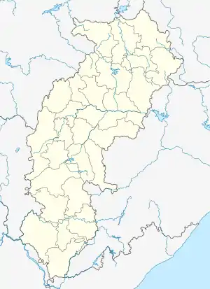  Pakhanjore Location in Chhattisgarh, India 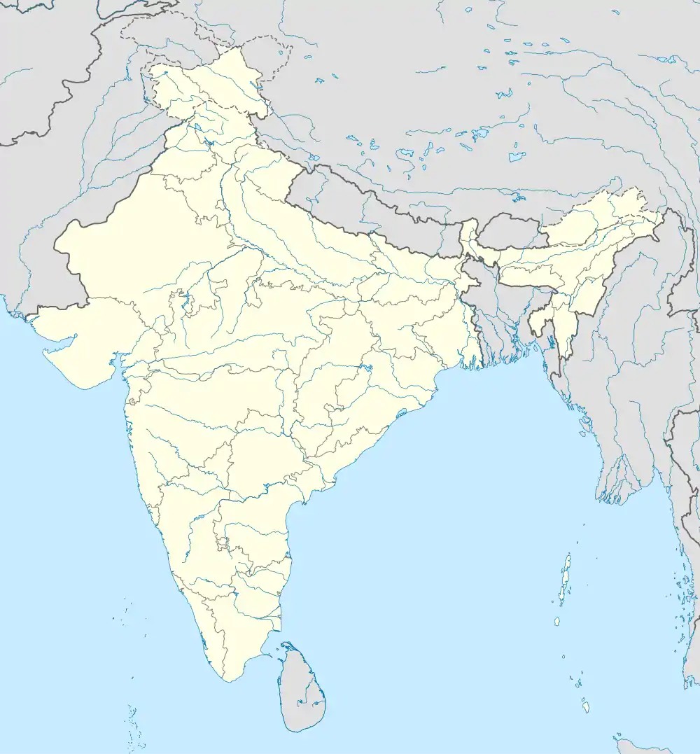 Pakhanjore Pakhanjore (India) | |
| Coordinates: 20.3°N 81.2°E | |
| Country | India |
| State | Chhattisgarh |
| District | Kanker |
| Government | |
| • Type | Nagar Panchayat (Notified Area Council) |
| Population (2011) | |
| • Total | 142,240 |
| Languages | |
| • Official | Bangla |
| Time zone | UTC+5:30 (IST) |
| PIN | 494 776 |
| Telephone code | 91 7844 |
| Vehicle registration | CG 19 |
| Sex ratio | 991 ♂/900♀ |
Indian rebels fought against the British Raj in what is now Pakhanjore.[3]
History
Pakhanjore or Pakhanjur
Pakhanjore was established in 1958 by the Dandakaranya Project, along with Kapsi and Bande. In a 1974 article by Rajya Sabha,[4] Dr K. Mathew Kurian stated that the city's name is Pakhanjore. While local residents continue to use the official name of Pakhanjore, non-residents sometimes refer to it as Pakhanjur, an incorrect spelling.
Paralkote
During the DNK project, the region was referred to as the Parakeet district and was later combined with the Kanker district.[5]
Demographics
The Pakhanjore Nagar Panchayat (Notified Area Council) has a population of 10,201 of which 5,370 are males are 4,831 are females as per a report released by Census India 2011.[6] The population of children ages 0-6 is 1,207, or 11.83% of the total population of Pakhanjore. In Pakhanjore Nagar Panchayat, the female sex ratio is 900 against the state average of 991. Moreover, the child sex ratio in Pakhanjore is around 904 compared to the Chhattisgarh state average of 969. The literacy rate of Pakhanjore city is 86.86%, higher than the state average of 70.28%. Male literacy is around 91.64% while the female literacy rate is 81.54%.
Administration
Pakhanjore Tehsil
Pakhanjore (NP) is surrounded by Durgukondal Tehsil to the east, Koylibeda Tehsil to the east, Dhanora Tehsil to the west, Bhanupratappur Tehsil to the east. Gadchiroli, Dalli-Rajhara, Kanker, Durg, Bhilai, Raipur are the nearby cities.
Apart from this, there are 133 Bengali Sectors in Pakhanjore (NP)
| Pv 1 | Pv 12 | Pv 23 | Pv 35 | Pv 46 | Pv 57 | Pv 68 | Pv 79 | Pv 90 | Pv 101 | Pv 112 | Pv 123 |
| Pv 2 | Pv 13 | Pv 24 | Pv 36 | Pv 47 | Pv 58 | Pv 69 | Pv 80 | Pv 91 | Pv 102 | Pv 113 | Pv 124 |
| Pv 3 | Pv 14 | Pv 25 | Pv 37 | Pv 48 | Pv 59 | Pv 70 | Pv 81 | Pv 92 | Pv 103 | Pv 114 | Pv 125 |
| Pv 4 | Pv 15 | Pv 26 | Pv 38 | Pv 49 | Pv 60 | Pv 71 | Pv 82 | Pv 93 | Pv 104 | Pv 115 | Pv 126 |
| Pv 5 | Pv 16 | Pv 27 | Pv 39 | Pv 50 | Pv 61 | Pv 72 | Pv 83 | Pv 94 | pv 105 | Pv 116 | Pv 127 |
| Pv 6 | Pv 17 | Pv 28 | Pv 40 | Pv 51 | Pv 62 | Pv 73 | Pv 84 | Pv 95 | Pv 106 | Pv 117 | Pv 128 |
| Pv 7 | Pv 18 | Pv 29 | Pv 41 | Pv 52 | Pv 63 | Pv 74 | Pv 85 | Pv 96 | Pv 107 | Pv 118 | Pv 129 |
| Pv 8 | Pv 19 | Pv 30 | Pv 42 | Pv 53 | Pv 64 | Pv 75 | Pv 86 | Pv 97 | Pv 108 | Pv 119 | Pv 130 |
| Pv 9 | Pv 20 | Pv 31 | Pv 43 | Pv 54 | Pv 65 | Pv 76 | Pv 87 | Pv 98 | Pv 109 | Pv 120 | Pv 131 |
| Pv 10 | Pv 21 | Pv 32 | Pv 44 | Pv 55 | Pv 66 | Pv 77 | Pv 88 | Pv 99 | Pv 110 | Pv 121 | Pv 132 |
| Pv 11 | Pv 22 | Pv 34 | Pv 45 | Pv 56 | Pv 67 | Pv 78 | Pv 89 | Pv 100 | Pv 111 | Pv 122 | Pv 133 |
The sub-district code of Pakhanjore block is 03354. There are about 299 villages in Pakhanjore block. Pakhanjore Nagar Panchayat, Chhattisgarh.[7]
Transport
Railway
There is no railway station closer to Pakhanjore than 10 kilometres (6.2 mi). However, the Durg railway station is a major railway station 165 kilometres (103 mi) from Pakhanjore. The second closest railway station to Pakhanjore is Dalli Rajhara, located around 76.4 kilometres (47.5 mi) away from the city.

The following table shows other railway stations and their distances from the city.
| S No | Name of Railway station |
|---|---|
| 1 | Bhanupratappur railway station |
| 2 | Durg railway station |
| 3 | Dalli Rajhara railway station |
| 4 | Kusumkasa railway station |
| 5 | Balod railway station |
| 6 | Sindewahi railway station |
| 7 | Arjuni railway station |
| 8 | Kewti railway station |
Airport
Pakhanjore's nearest airport is Chandrapur Airport situated at 146.9 km distance. Other airports around Pakhanjore include:
| S no | Airport name |
|---|---|
| 1 | Chandrapur Airport |
| 2 | Gondia Airport |
| 3 | Swami Vivekananda Airport |
Dandakarana project
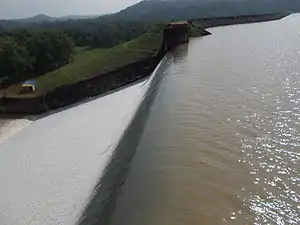
The Dandakaranya Development Authority was created by the union (central) government in 1958 to assist refugees from East Pakistan (now Bangladesh). It constructed the Bhaskel Dam and Pakhanjore reservoir (kherkatta Dam); woodworking centres at Jagdalpur, Boregaon, and Umerkote; and roads and railways in the refugee resettlement areas, including the Balangir-Kozilum railway project. A factory that mainly produces aircraft engines is located at Sunabeda. The National Mineral Development Corporation works iron ore at Bailadila. Important towns are Jagdalpur, Bhawanipatna, and Koraput. The project was known as the Dandakaranya Project.
A large number of refugees who were uprooted from their homeland in East Pakistan settled at 133 Bengali sectors and areas of Bande, Pakhanjore and Kapsi. Pakhanjore is only connected by the bus route from Durg, Raipur, Kanker, Dalli rajra, Jagdalpur, Chandrapur. Privatization has made Pakhanjore more popular among people.[8]
Education
- Industrial Training Institute (ITI)[9]
- Govt. Veer Gaind Singh College Pakhanjore[10] Year of Establishment 1989
Sports
Dr Syama Prasad Mukherjee Stadium Pakhanjore
The stadium is famous for football and cricket tournaments.[11] The stadium hosts annual celebrations of Independence Day (15 August) and Republic Day (26 January). All cultural and extracurricular activities are performed in the stadium and inter-school competitions are organized between them along with march-past.
Economy
Hahaladdi Iron Ore Deposit
The project site is well connected through State highway SH-6, Kahdubari to Sumbalpur road at 11.7 km away towards NE and Pakhanjore to Bhanupratappur road at 1.5 km away in SSE direction.[12]
Agriculture
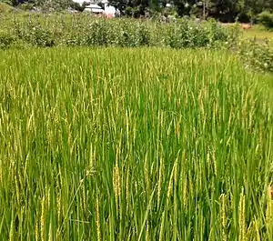
Pakhanjore area “P3” produces the highest siderophore. The study showed a significantly higher increase in root length over control plants was observed in rice (68.45%) followed by Urd (40.1%), Mung (33.71%), corn (49.68%), and Arhar (29.53%). Similarly, a significantly higher increase in shoot length over control plants was observed in rice (68.925%) followed by Urd (43.42%), Mung (39.96%) and Arhar (19.45%). It has been shown that these bacteria competitively colonize plant roots and cause the plant statistically significant root and shoot increases by stimulating plant growth and reducing the incidence of plant disease of the above-mentioned crops under greenhouse tray culture conditions.
Health and care
Famous places to visit
- Kherkatta Reservoir (Kharkhatta dam/Pakhanjore Reservoir) which is situated near Kapsi.[15]
- Pakhanjore Mela : Pakhanjore mela (Nara Narayan Mela).[16]
- NARA NARAYAN SEVASRAM
- Kali mandir, Pakhanjore
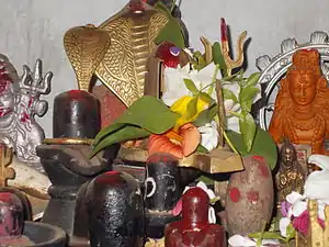
- Shiv Mandir
- Satsang Vihar, Shri Shri Thakur Anukulchandra Temple situated in the heart of Pakhanjore, near Old Market, Centre for Spiritual Excellence and Universal Brotherhood.
- Pakhanjour park
- P.v.9 satyanandnagar
References
- Pakhanjore city (7 January 2017). "Website of Pakhanjore". Retrieved 30 October 2017.
- koylibeda Block design. Layout of Koyelibeda Block. Retrieved 25 February 2015.
- Freedom Frighter. "Great Man Gen Singh". Archived from the original on 4 March 2016. Retrieved 25 February 2015.
- Article on Malariya epidermic at Rajya Sabha in 1974. Official Name Pakhanjore (PDF). p. 1. Retrieved 11 April 2015.
- Paralkote irrigation canal system (1971). Design report of PARALKOTE (PDF). Retrieved 30 October 2017.
- census. "census 2011". Retrieved 21 February 2015.
- Pakhanjore, Sub District code. "Pakhanjore code". Retrieved 2 January 2020.
- work. Villages Established (PDF). Archived from the original (PDF) on 25 February 2015. Retrieved 25 February 2015.
- Institute. "Industrial Training Institute (ITI)". Retrieved 25 February 2015.
- Gov college. "Govt. Veer Gaind Singh College Pakhanjore". Retrieved 25 February 2015.
- stadium. "Pakhanjore stadium". Retrieved 12 March 2015.
- The project site is connected to Pakhanjore to Bhanupratappur road. HAHALADDI IRON ORE DEPOSIT (PDF). p. 1. Archived from the original (PDF) on 14 July 2015. Retrieved 14 July 2015.
- DB Tech (Pakhanjore, Chhattisgarh). "Pakhanjore Hospital". Archived from the original on 2 April 2015. Retrieved 31 March 2015.
- Vandana Hospital (PDF). RSBY. p. 23.
- Kherkatta Reservoir. "Pakhanjore Dam". Retrieved 31 March 2015.
- Pakhanjore mela. "News in Naiduniya". Retrieved 11 April 2015.
- Pakhanjore Camp. "Pincode". Retrieved 25 February 2015.
- Post office code (2017). Pakhanjore camp post office. p. 1. Retrieved 30 October 2017.