Sandyford, Newcastle upon Tyne
Sandyford is a district in the east of the city and metropolitan borough of Newcastle upon Tyne. It is bordered by Jesmond, Heaton, Shieldfield and the city centre. Towards the south-east is Jesmond Dene.
| Sandyford | |
|---|---|
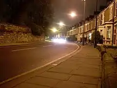 Sandyford Road, the north-west boundary of Sandyford (on the right) | |
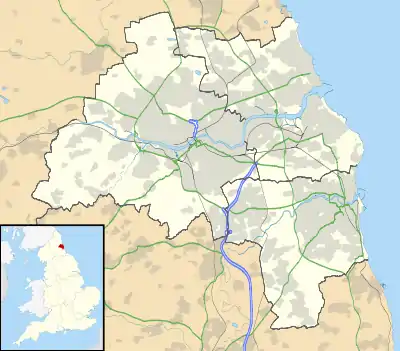  Sandyford Location within Tyne and Wear | |
| OS grid reference | NZ257658 |
| Metropolitan borough | |
| Metropolitan county | |
| Region | |
| Country | England |
| Sovereign state | United Kingdom |
| Post town | NEWCASTLE UPON TYNE |
| Postcode district | NE2 |
| Dialling code | 0191 |
| Police | Northumbria |
| Fire | Tyne and Wear |
| Ambulance | North East |
| UK Parliament | |
| Councillors | |
Profile
Sandyford’s housing stock is mostly red brick Victorian terraced housing, and many of these are Tyneside flats.
In the south of Sandyford, there are some light industrial business buildings, including offices and small warehouses.
The nearest Metro station is Jesmond.[1]
Similarly to neighbouring Jesmond, Sandyford is home to a large number of students because of its close proximity to Newcastle University and Northumbria University.
This article is issued from Wikipedia. The text is licensed under Creative Commons - Attribution - Sharealike. Additional terms may apply for the media files.