Tabing Ilog, Licab
Tabing Ilog, officially the Barangay Tabing Ilog, is a barangay in the municipality of Licab, Nueva Ecija, Central Luzon, Philippines. According to the 2020 census, it has a population of 1,080 people. [3] It borders, from the east clockwise, Linao, San Cristobal, Villarosa, and Guimba barangays of Caingin Tabing Ilog and Manacsac.[4]
Tabing Ilog | |
|---|---|
| Barangay Tabing Ilog | |
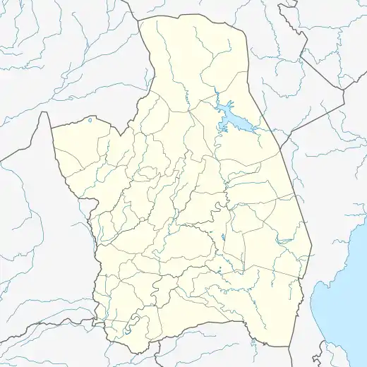  Tabing Ilog Location within Nueva Ecija .svg.png.webp) Tabing Ilog Location within Luzon .svg.png.webp) Tabing Ilog Location within the Philippines  Tabing Ilog Location within Southeast Asia | |
| Coordinates: 15°34′25″N 120°46′04″E | |
| Country |  Philippines Philippines |
| Municipality, Province, Region | Licab, Nueva Ecija, Central Luzon |
| District | 1st District |
| Puroks | 3 |
| Government | |
| • Barangay Captain | Mario Nicolas[1] |
| • Barangay Council | |
| • SK Chairperson | Oliver Valdez[1] |
| • Barangay Secretary | Mary Grace Lozano[1] |
| Area | |
| • Total | 3.3556 km2 (1.2956 sq mi) |
| Elevation | 26 m (85 ft) |
| Population | |
| • Total | 1,080 |
| • Density | 320/km2 (830/sq mi) |
| Time zone | UTC+8 (PST) |
| ZIP code | 3112 |
| PSGC | |
| IDD : area code | +63 (0)44 |
| Native languages | Tagalog English Ilocano |
| Patron | Saint Augustine of Hippo |
Etymology
The name Tabing Ilog is a Filipino word for "riverside", owing to its geographic location.[4][5]
Geography
Tabing Ilog is located at the north central part of Licab. Its northern and western limits are straddled by Baliwag River that separates it from Guimba and barangay Villarosa.[4] The highest and lowest elevations of Tabing Ilog is 28 metres (92 feet) and 24 metres (79 feet), respectively.[5] According to provincial data, like most of the Licab, Tabing Ilog has Quingua silt loam type of soil.[6]
Climate
| Climate data for Tabing Ilog, Licab, Nueva Ecija | |||||||||||||
|---|---|---|---|---|---|---|---|---|---|---|---|---|---|
| Month | Jan | Feb | Mar | Apr | May | Jun | Jul | Aug | Sep | Oct | Nov | Dec | Year |
| Average high °C (°F) | 29 (84) |
30 (86) |
32 (90) |
34 (93) |
33 (91) |
31 (88) |
30 (86) |
29 (84) |
30 (86) |
30 (86) |
30 (86) |
29 (84) |
31 (87) |
| Average low °C (°F) | 19 (66) |
20 (68) |
20 (68) |
22 (72) |
24 (75) |
24 (75) |
24 (75) |
24 (75) |
24 (75) |
22 (72) |
21 (70) |
20 (68) |
22 (72) |
| Average precipitation mm (inches) | 4 (0.2) |
6 (0.2) |
7 (0.3) |
12 (0.5) |
61 (2.4) |
89 (3.5) |
96 (3.8) |
99 (3.9) |
81 (3.2) |
88 (3.5) |
37 (1.5) |
13 (0.5) |
593 (23.5) |
| Average rainy days | 2.5 | 3 | 4.1 | 6.3 | 15.8 | 19.4 | 22.5 | 21.6 | 20.1 | 17.5 | 9.6 | 4 | 146.4 |
| Source: Meteoblue [7] | |||||||||||||
References
- "BARANGAY OFFICIALS DIRECTORY". Department of the Interior and Local Government. Retrieved May 7, 2021.
- "2015 Census of Population, Report No. 3 – Population, Land Area, and Population Density" (PDF). Philippine Statistics Authority. Quezon City, Philippines. August 2016. ISSN 0117-1453. Archived (PDF) from the original on May 25, 2021. Retrieved July 16, 2021.
- Census of Population (2020). "Region III (Central Luzon)". Total Population by Province, City, Municipality and Barangay. PSA. Retrieved 8 July 2021.
- "Nationwide Operational Assessment of Hazards (NOAH)". University of the Philippines NOAH. Retrieved May 7, 2021.
- "Licab Topographic maps > Philippines > Nueva Ecija > Licab > Licab". topographic-map.com. Retrieved May 7, 2021.
- "Nueva Ecija Soil Map". Wikimedia Commons. Retrieved May 7, 2021.
- "Tabing Ilog: Average Temperatures and Rainfall". Meteoblue. Retrieved 7 May 2021.
