Thamarankottai
Thamarankottai is a village in Pattukkottai Taluk in the Thanjavur district, located in the delta of the Kaveri river.[1]
Thamarankottai | |
|---|---|
Village | |
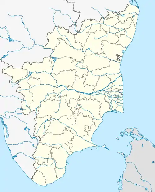  Thamarankottai Location in Tamil Nadu, India  Thamarankottai Thamarankottai (India) | |
| Coordinates: 10.43°N 79.32°E | |
| Country | India |
| State | Tamil Nadu |
| District | Thanjavur |
| Taluk | Pattukkottai |
| Named for | Rama, An avatar of Lord Vishnu |
| Government | |
| • Village Panchayat President | Kanagasabai [North] Vadivelu [South] |
| Area | |
| • Total | 21.7 km2 (8.4 sq mi) |
| Area rank | 1 |
| Elevation | 23 m (75 ft) |
| Population (2001) | |
| • Total | 10,530 |
| • Rank | 1 |
| • Density | 490/km2 (1,300/sq mi) |
| Languages | |
| • Official | Tamil |
| Time zone | UTC+5:30 (IST) |
| PIN | 614613 |
| Telephone code | 91 4373 |
| Vehicle registration | TN 49 |
| Sex ratio | 1000 M for 1094 F ♂/♀ |
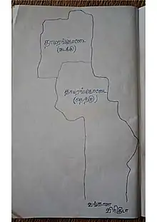
Village Map of Thamarankottai
Mangrove forest is located in the village, it's official name is Thamarankottai Reserve forest.
Demography
According to the latest national census, Thamarankottai North has a population of 6,031, of which 2,872 are males and 3,159 are females. in 1,460 households across the three hamlets of Keezakadu, Melakkadu, and Rasiangadu. Thamarankottai South has 4,499 people (2,156 males and 2,343 females) in 1,110 households across the four hamlets of Manjavayal, Sengapaduthankadu, Karungulam, Karisakadu, and Mankanangadu.[2]
References
- Official TN Government Map of Pattukottai TalukArchived 2009-04-16 at the Wayback Machine. Tnmaps.tn.nic.in. Retrieved on 2014-04-07.
- Indian Government Official Census Data
External links
- Thamarankottai website (in Tamil)
This article is issued from Wikipedia. The text is licensed under Creative Commons - Attribution - Sharealike. Additional terms may apply for the media files.