Kochkor
Kochkor (Kyrgyz: Кочкор, Qochqor; also known as Russian:Кочкорка) is a large village in northern Naryn Region of Kyrgyzstan. It is the administrative centre of Kochkor District.[1] The village was established in 1909 as Stolypino and renamed to Kochkor in 1917.[2] Altitude 1,800 m. Its population was 9,863 in 2009.[3] It is on the main A365 highway from Torugart Pass (China) north to Bishkek. About 7 km west A367 branches west toward Jalal-Abad Region and the Ferghana Valley. About 25 km northeast along the highway is the Orto-Tokoy reservoir and about 45 km northeast is Balykchy on Lake Issyk Kul. The village is a base for excursions into the high country and tourist infrastructure is fairly well developed. There is a regional museum.
Kochkor
Кочкор | |
|---|---|
 | |
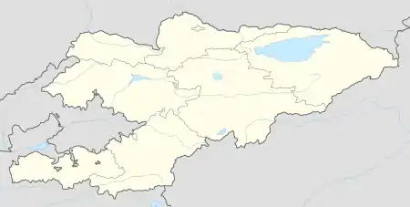  Kochkor | |
| Coordinates: 42°12′57″N 75°45′20″E | |
| Country | Kyrgyzstan |
| Region | Naryn Region |
| District | Kochkor District |
| Stolypino | 1909 |
| Elevation | 1,767 m (5,797 ft) |
| Population (2009) | |
| • Total | 9,863 |
| Time zone | UTC+6 |
Notable people
- Turdakun Usubalijev, Soviet-era Kyrgyz politician and secretary of the Central Committee of the Communist Party of Kyrgyzstan.
References
- "Classification system of territorial units of the Kyrgyz Republic" (in Kyrgyz). National Statistics Committee of the Kyrgyz Republic. May 2021. pp. 36–37.
- Иссык-Куль. Нарын:Энциклопедия [Encyclopedia of Issyk-Kul and Naryn Oblasts] (in Russian). Bishkek: Chief Editorial Board of Kyrgyz Soviet Encyclopedia. 1991. p. 512. ISBN 5-89750-009-6.
- "2009 population census of the Kyrgyz Republic: Naryn Region" (PDF). Archived from the original (PDF) on 21 March 2012. Retrieved 2016-06-15.

This article is issued from Wikipedia. The text is licensed under Creative Commons - Attribution - Sharealike. Additional terms may apply for the media files.