Alesani Reservoir
Alesani Reservoir (French: Réservoir d'Alesani) or Alesani Lake (French: Lac de l'Alesani) is a reservoir in the Haute-Corse department of France formed in 1970 by damming the Alesani River with the Alesani Dam (French: Barrage d'Alésani). It is the main source of irrigation water along the east coast of Haute-Corse, and it also supplies water for human consumption and for hydroelectric power generation.
| Alesani Reservoir | |
|---|---|
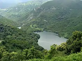 Alesani Reservoir seen looking northwest from Chiatra. Above, the road from Sant'Andréa-di-Cotone to Ortale. | |
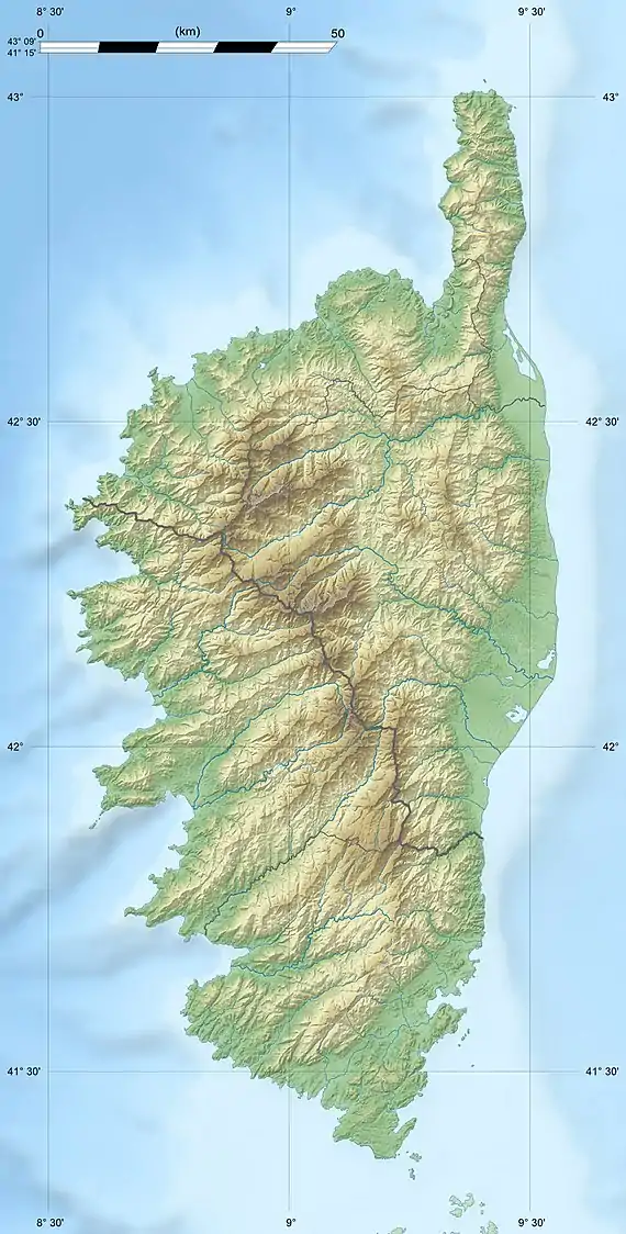  Alesani Reservoir 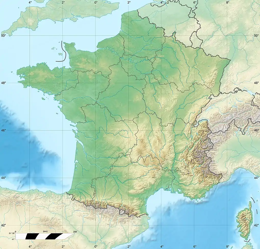 Alesani Reservoir | |
| Location | Corsica |
| Coordinates | 42.29839°N 9.47577°E |
| Type | Reservoir |
| Primary inflows | Alesani River |
| Primary outflows | Alesani River |
| Catchment area | 56 square kilometres (22 sq mi) |
| Basin countries | France |
| Surface area | 49 ha (120 acres) |
| Water volume | 11,300,000 cubic metres (400,000,000 cu ft) |
| Surface elevation | 165 m (541 ft) |
Location
The Alesani Reservoir is to the north of Chiatra and east of Pietra-di-Verde. The Alesani enters the reservoir from the northwest. The Spiscia and Mighiarette streams enter from the southwest. The D517 road crosses the dam at its east end.[1] The dam is in the commune of Chiatra.[2] The reservoir has a surface area of 49 hectares (120 acres) and capacity of 11,300,000 cubic metres (400,000,000 cu ft). The catchment area is 56 square kilometres (22 sq mi).[3]
Dam
The reservoir is impounded by the Alesani Dam (Barrage d'Alésani), a rockfill structure 65 metres (213 ft) high with a crest length of 155 metres (509 ft). The crest elevation is 165 metres (541 ft) above sea level.[4] The dam is faced with asphalt and concrete on the reservoir side. A 1.6 metres (5 ft 3 in) conduit carries water from the bottom outlet through a gallery under the embankment.[3]
Construction lasted from 1964 to 1969.[3] The dam became operational in 1970.[4] The water is used to irrigate the fields, plantations and vineyards of the center of the east coast of Corsica.[5] The reservoir also stores water for human consumption, and powers a hydroelectric plant.[4]
The reservoir was partly drained and the dam was inspected in 2001. It was found that sediments at the toe of the dam were up to 15 metres (49 ft) thick, caused by major floods in the previous decade. The bottom valve was totally blocked and the water intake strainer was blocked for more than half its height. In the autumn the intake was heightened by 6 metres (20 ft) using a prefabricated structure.[3] In August 2020, towards the end of the irrigation season, the Office d'équipment hydraulique de la Corse (OEHC) began to drain 3,000,000–4,000,000 cubic metres (110,000,000–140,000,000 cu ft) of water from the reservoir, lowering the water level in preparation for further maintenance work.[6]
Gallery
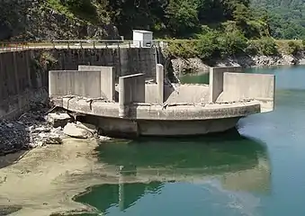 Abandoned intake structure beside the dam
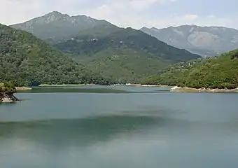 View of the lake from the dam
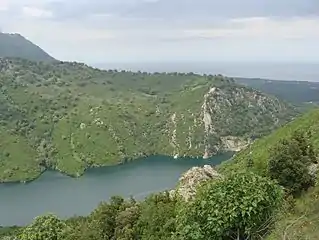 Looking northeast from Chiatra towards the dam, Tyrrhenian Sea in background
Notes
Sources
- "Barrage d'Alésani", Annuaire des mairies (in French), retrieved 2021-11-23
- Corse : Barrage d'Alésani (in French), Comité Français des Barrages et Réservoirs (CFBR), retrieved 2021-11-23
- "La vallée d'Alesani", Paradisu (in French), retrieved 2021-11-23
- Mari, Nicole (17 August 2020), "Lancement des travaux au barrage de l'Alisiani Une ouverture de vanne pour une cure de jouvence", corsenetinfos (in French), retrieved 2021-11-23
- Paoli, J.; Royet, P.; Tourment, R.; Isambert, F. (2009), Barrage de l'Alesani : sécurisation de l'unique prise d'eau menacée d'envasement, Office International de l'Eau, retrieved 2021-11-23
- "Way: Réservoir d'Alesani (28890156)", OpenStreetMap, retrieved 2021-11-23
Waterbodies of the Haute-Corse department  | ||
|---|---|---|
| Lagoons | | |
| Lakes | ||
| Reservoirs | ||
| ||