Amiens, Queensland
Amiens is a rural locality in the Southern Downs Region, Queensland, Australia.[2] In the 2016 census Amiens had a population of 293 people.[1]
| Amiens Queensland | |||||||||||||||
|---|---|---|---|---|---|---|---|---|---|---|---|---|---|---|---|
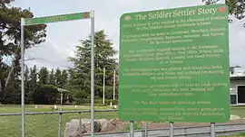 Information board about the Pikedale soldier settlements, Amiens, 2015 | |||||||||||||||
  Amiens | |||||||||||||||
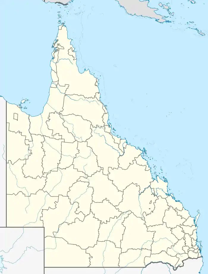
| Coordinates | 28.5986°S 151.8163°E | ||||||||||||||
| Population | 293 (2016 census)[1] | ||||||||||||||
| • Density | 5.645/km2 (14.62/sq mi) | ||||||||||||||
| Postcode(s) | 4380 | ||||||||||||||
| Area | 51.9 km2 (20.0 sq mi) | ||||||||||||||
| Time zone | AEST (UTC+10:00) | ||||||||||||||
| Location |
| ||||||||||||||
| LGA(s) | Southern Downs Region | ||||||||||||||
| State electorate(s) | Southern Downs | ||||||||||||||
| Federal division(s) | Maranoa | ||||||||||||||
| |||||||||||||||
History
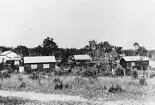
Following World War I, Amiens was one of the Pikedale soldier settlements established in the Granite Belt area of the Darling Downs.[3]
The name Amiens refers to the World War I battlefield in northern France, of special importance to the Australian Imperial Force in March–April 1918. The name was suggested by surveyor George Grant in 1920.[2]
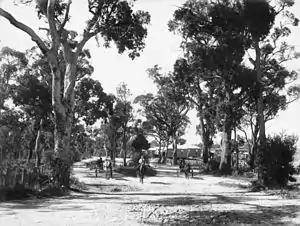
Construction of the Amiens railway line commenced in 1919 and the line was opened on 7 June 1920 with the locality being served by the now-dismantled Amiens railway station (28.5866°S 151.8062°E).[4][5] Edward, Prince of Wales travelled the length of the Amiens branch in a royal train to officially open the line on 26 July 1920.[6]
In 1919 a Methodist church building was relocated to Amiens from Tannymorel (where it had been opened in 1902).[7][8]
Although the intention of the soldier settlement farms in the district was fruit growing, the fruit trees required a number of years before they would bear fruit and the government loans on the farms required immediate interest payments. Many soldier settlers turned to vegetable growing, both for their own use and to enable them to sell for a short-term income.[9]
Pikedale Soldier's Setttlement State School opened on 10 March 1919. In 1920 it was renamed Amiens State School.[10][11]
The railway line closed on 28 February 1974.[4] Fruit and vegetables are carried by road to the markets.
In the 2016 census Amiens had a population of 293 people.[1]
Heritage listings
Amiens has a number of heritage-listed sites, including:
- 17 Trevethan Lane: St Denys Anglican Church[12]
Economy

Amiens is a fruit and vegetable growing district. As the Granite Belt suffers from regular hail, many orchards are protected by hail nets. Traditionally hail nets were intended to prevent the hail from entering the orchard; however, the heavy hail would pool in the nets and break through onto the orchard below. Modern hail nets are designed to have gullies between the rows of the trees which allow the hail to fall into the orchards but avoiding the fruit on the trees.[13]
Education
Amiens State School is a government primary (Prep-6) school for boys and girls at 1337 Amiens Road (28.5945°S 151.8126°E).[14][15] In 2018, the school had an enrolment of 39 students with 3 teachers and 6 non-teaching staff (3 full-time equivalent).[16]
There is no secondary school in Amiens. The nearest government secondary school is Stanthorpe State High School in Stanthorpe to the south-east.[17]
References
- Australian Bureau of Statistics (27 June 2017). "Amiens (SSC)". 2016 Census QuickStats. Retrieved 20 October 2018.

- "Amiens – locality in Southern Downs Region (entry 50091)". Queensland Place Names. Queensland Government. Retrieved 29 December 2020.
- Randall, Brian (3 November 2014). "Pikedale soldier settlements". State Library of Queensland. Archived from the original on 26 July 2017. Retrieved 2 June 2015.
- Southern Downs Steam Railway (2008). "Historical information: (Warwick) – Cottonvale – Amiens". Archived from the original on 6 January 2009. Retrieved 18 November 2008.
- "Railway stations and sidings - Queensland". Queensland Open Data. Queensland Government. 2 October 2020. Archived from the original on 5 October 2020. Retrieved 5 October 2020.
- QR Limited. "QR History – Royal goes by train". Archived from the original on 19 July 2008. Retrieved 18 November 2008.
- "METHODISM". Warwick Daily News (5109). Queensland, Australia. 30 November 1935. p. 8. Archived from the original on 11 September 2021. Retrieved 10 September 2021 – via National Library of Australia.
- "Church at Tannymorel". Warwick Examiner And Times. 36 (4680). Queensland, Australia. 18 October 1902. p. 2. Archived from the original on 16 March 2021. Retrieved 6 July 2020 – via National Library of Australia.
- "Amiens, Thulimba, Applethorpe district". Queensland Places. Centre for the Government of Queensland, University of Queensland. Archived from the original on 11 June 2015. Retrieved 2 June 2015.
- Queensland Family History Society (2010), Queensland schools past and present (Version 1.01 ed.), Queensland Family History Society, ISBN 978-1-921171-26-0
- "Opening and closing dates of Queensland Schools". Queensland Government. Retrieved 18 April 2019.
- "St Denys Anglican Church (entry 602530)". Queensland Heritage Register. Queensland Heritage Council. Retrieved 13 July 2013.
- "Hail lashes Stanthorpe region". Warwick Daily News. 28 October 2011. Archived from the original on 2 February 2017. Retrieved 2 June 2015.
- "State and non-state school details". Queensland Government. 9 July 2018. Archived from the original on 21 November 2018. Retrieved 21 November 2018.
- "Amiens State School". Archived from the original on 4 April 2021. Retrieved 26 March 2021.
- "ACARA School Profile 2018". Australian Curriculum, Assessment and Reporting Authority. Archived from the original on 27 August 2020. Retrieved 28 January 2020.
- "Queensland Globe". State of Queensland. Retrieved 26 March 2021.
External links
 |
Wikimedia Commons has media related to |
- "Amiens, Thulimbah, Applethorpe District". Queensland Places. Centre for the Government of Queensland, University of Queensland.