Andahuaylas Airport
Andahuaylas Airport (IATA: ANS, ICAO: SPHY) is a high-elevation airport serving Andahuaylas, Peru. It is an important airport in the Apurímac Region as being the only one with scheduled commercial flights. It is operated by the civil government. Apart from its scheduled flights, it also has many charter flights.
Andahuaylas Airport | |||||||||||
|---|---|---|---|---|---|---|---|---|---|---|---|
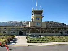 | |||||||||||
| Summary | |||||||||||
| Airport type | Public | ||||||||||
| Operator | CORPAC S.A. | ||||||||||
| Serves | Andahuaylas | ||||||||||
| Elevation AMSL | 11,300 ft / 3,444 m | ||||||||||
| Coordinates | 13°42′30″S 73°21′05″W | ||||||||||
| Map | |||||||||||
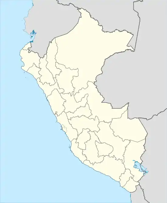  ANS Location of airport in Peru | |||||||||||
| Runways | |||||||||||
| |||||||||||
The airport is 6 kilometres (3.7 mi) southeast of Andahuaylas, and sits on a mesa above the Chumbao River, which continues north and west into the town. There is high terrain in all quadrants.
The Andahuaylas VOR-DME (Ident: AND) is located 1.6 nautical miles (3.0 km) west of airport midfield.[3] The Andahuaylas non-directional beacon (Ident: AND) is located on the field.[4]
References
- Airport information for ANS at Great Circle Mapper.
- Google Maps - Andahuaylas
- SkyVector AND VOR
- OurAirports AND NDB
This article is issued from Wikipedia. The text is licensed under Creative Commons - Attribution - Sharealike. Additional terms may apply for the media files.