Andevoranto
Andevoranto [andevʷˈrantʷ] is a rural municipality in the Brickaville District, Atsinanana Region, Madagascar.
Andevoranto | |
|---|---|
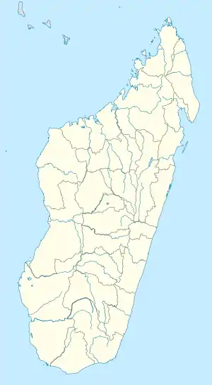  Andevoranto Location in Madagascar | |
| Coordinates: 18°57′16″S 49°6′34″E | |
| Country |  Madagascar Madagascar |
| Region | Atsinanana |
| District | Vohibinany (district) |
| Government | |
| • Mayor | Maxime Laro |
| Population (2018)Census | |
| • Total | 10,723 |
| Time zone | UTC3 (EAT) |
| Postal code | 508 |
It is located near the coast and near the mouth of the Rianila River[1] at a distance of 20 km from Brickaville.[2]
During the French colonial rule of the island, Andrevoranto was the capital of Andevoranto Province, and sources also described it as a former capital of the Betsimisaraka people in the region.[3][4][5] The town was at that point also the junction of a number of important roads, including the key road from the coast to the capital, Antananarivo.[6] Today, the key route of Route nationale 2 from the capital is located west of Andevoranto.
Personalities
References
- Islands in the Southern Indian Ocean, p. 123 (1891) (historical description of town)
- PLAN COMMUNAL DE DEVELOPPEMENT (PCD) DE LA COMMUNE RURALE D’ANDOVORANTO 2017-2021
- EVOLUTION DU DECOUPAGE ADMINISTRATIF (see 1908 map), Retrieved February 22, 2013
- Halcombe, J.J. (ed.) Mission Life, Vol. 8 Part 1, p. 32 (1877)
- Little, William Henry. Madagascar: its history and people, p. viii (1884) ("the interesting and important town of Andevoranto--the ancient capital of the once independent and powerful Betsimisaraka tribe.")
- Report by Acting Consul Whitney, of Madagascar (1884)
Capital: Toamasina | ||
| Antanambao Manampotsy - 507 | 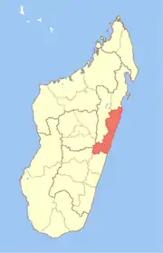 | |
| Mahanoro - 510 | ||
| Marolambo - 513 | ||
| Toamasina I - 501 | ||
| Toamasina II - 502 | ||
| Vatomandry - 517 | ||
| Vohabinany (Brickaville) - 508 | ||
7 districts; 75 communes | ||
This article is issued from Wikipedia. The text is licensed under Creative Commons - Attribution - Sharealike. Additional terms may apply for the media files.