Aramoun, Keserwan
Aramoun (Arabic: عرمون; also spelled Aaramoun or ′Aramun) is a town and municipality located in the Keserwan District of the Keserwan-Jbeil Governorate of Lebanon. The town is about 28 kilometres (17 mi) north of Beirut.[1] It has an average elevation of 730 meters above sea level and a total land area of 148 hectares.[1] Aramoun's inhabitants are Maronites.[2]
Aramoun
عرمون | |
|---|---|
Municipality | |
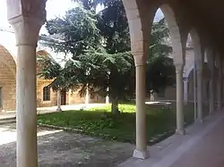 The Monastery of Saint Nicolas in Aramoun, formerly the house of al-Dahdah | |
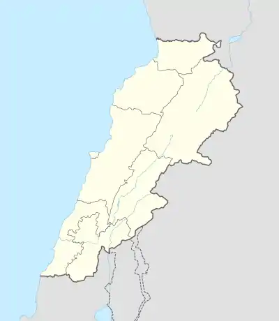  Aramoun Location in Lebanon | |
| Coordinates: 34°1′9″N 35°42′1″E | |
| Country |  Lebanon Lebanon |
| Governorate | Keserwan-Jbeil |
| District | Keserwan |
| Area | |
| • Total | 1.48 km2 (0.57 sq mi) |
| Elevation | 730 m (2,400 ft) |
| Time zone | UTC+2 (EET) |
| • Summer (DST) | UTC+3 (EEST) |
History
In 1959, an Ariana Airlines plane just moments after taking off from the nearby Beirut International airport. The flight, Flight 202 was going to Iran and then to Afghanistan.
References
- "Aaramoun (Kesrwan)". Localiban. Localiban. 2008-01-19. Retrieved 2016-02-26.
- "Elections municipales et ikhtiariah au Mont-Liban" (PDF). Localiban. Localiban. 2010. p. 19. Archived from the original (pdf) on 2015-07-24. Retrieved 2016-02-26.
Capital: Jounieh | ||
| Towns and villages |
| 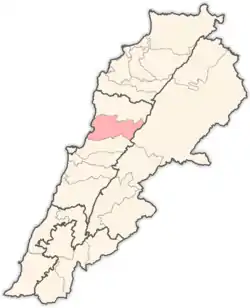 |
| Notable landmarks | ||
Authority control  | |
|---|---|
| General | |
| National libraries | |
This article is issued from Wikipedia. The text is licensed under Creative Commons - Attribution - Sharealike. Additional terms may apply for the media files.