Bracon Ash
Bracon Ash is a village and civil parish in the South Norfolk district of Norfolk, England.
| Bracon Ash | |
|---|---|
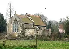 St Nicholas, Bracon Ash | |
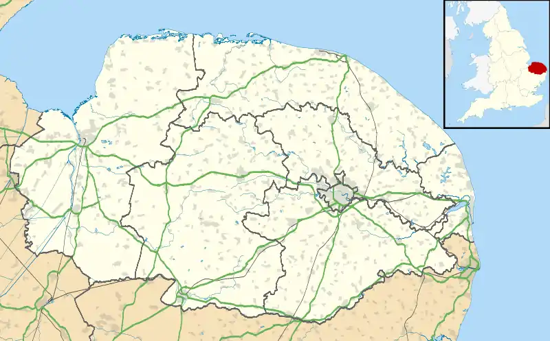  Bracon Ash Location within Norfolk | |
| Area | 9.84 km2 (3.80 sq mi) |
| Population | 460 (2011) |
| • Density | 47/km2 (120/sq mi) |
| OS grid reference | TG182001 |
| Civil parish |
|
| District | |
| Shire county | |
| Region | |
| Country | England |
| Sovereign state | United Kingdom |
| Post town | NORWICH |
| Postcode district | NR14 |
| Police | Norfolk |
| Fire | Norfolk |
| Ambulance | East of England |
The villages name has evolved from 'Bracken'[1] as recorded by Christopher Saxton in 1574, with the later addition of 'ash-tree'.
According to the 2001 United Kingdom national census, the Bracon Ash and Hethel Parish covered an area of 9.84 km2 and had a population of 446 people, spread between 171 households.. The population at the 2011 census had increased to 460.[2]
St Nicholas Church, with no tower, is listed, like most other churches in South Norfolk, in the Domesday Book of 1086, with a church and a rectory.[3]
The B1113 road runs through the village, which is about 6+1⁄2 miles (10.5 km) south of the city of Norwich.
References
- elizabethjayne2015 (16 September 2016). "A unique collection of Historic Norfolk Maps: the Raymond Frostick Map Collection". Norfolk Record Office. Retrieved 15 March 2021.
- "Parish population 2011". Retrieved 8 September 2015.
- "Mulbarton Group | St Nicholas, Bracon Ash". mulbchurch.org.uk. Retrieved 15 March 2021.

This article is issued from Wikipedia. The text is licensed under Creative Commons - Attribution - Sharealike. Additional terms may apply for the media files.