Caesars Head, South Carolina
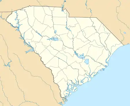
Caesars Head is an unincorporated community and census-designated place (CDP) on top of Caesars Head, a mountain in Greenville County, South Carolina, United States. It was first listed as a CDP prior to the 2020 census.[2]
Caesars Head, South Carolina | |
|---|---|
  Caesars Head  Caesars Head | |
| Coordinates: 35°6′19″N 82°37′14″W | |
| Country | United States |
| State | South Carolina |
| County | Greenville |
| Area | |
| • Total | 1.47 sq mi (3.81 km2) |
| • Land | 1.47 sq mi (3.81 km2) |
| • Water | 0.0 sq mi (0.0 km2) |
| Elevation | 3,100 ft (900 m) |
| Time zone | UTC-5 (Eastern (EST)) |
| • Summer (DST) | UTC-4 (EDT) |
| ZIP Code | 29635 (Cleveland) |
| Area code(s) | 864 |
| FIPS code | 45-10585 |
| GNIS feature ID | 2812959[2] |
The CDP is in northwestern Greenville County along U.S. Route 276, 2 miles (3 km) south of the North Carolina border. The 3,208-foot (978 m) summit of Caesars Head is in the western part of the CDP, and most of the residential development is in the northeastern part, at elevations ranging from 2,800 to 3,200 feet (850 to 980 m) above sea level. The remainder of the CDP is within Caesars Head State Park.
US 276 (Geer Highway) leads north 15 miles (24 km) to Brevard, North Carolina, and southeast 31 miles (50 km) to Greenville.
References
- "2020 U.S. Gazetteer Files – South Carolina". United States Census Bureau. Retrieved September 9, 2021.
- "Caesars Head Census Designated Place". Geographic Names Information System. United States Geological Survey.
Municipalities and communities of Greenville County, South Carolina, United States | ||
|---|---|---|
| Cities | 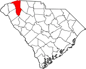 Map of South Carolina highlighting Greenville County | |
| CDPs | ||
| Other communities | ||
| Footnotes | ‡This populated place also has portions in an adjacent county or counties | |
| ||