Cape Colony, North Carolina
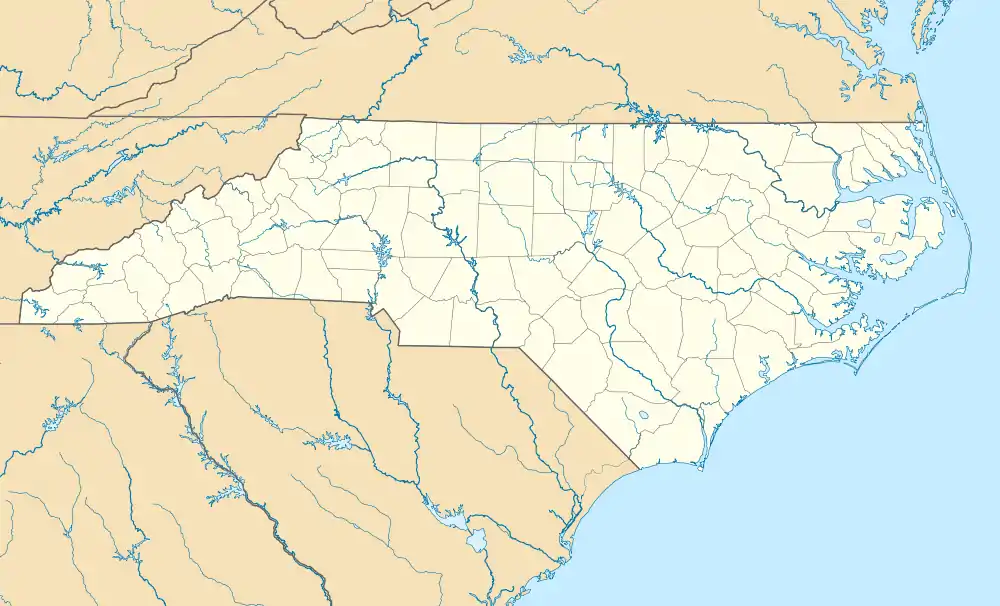
Cape Colony is an unincorporated community and census-designated place (CDP) in Chowan County, North Carolina, United States. It was first listed as a CDP prior to the 2020 census.[2]
Cape Colony, North Carolina | |
|---|---|
  Cape Colony  Cape Colony | |
| Coordinates: 36°1′9″N 76°34′57″W | |
| Country | United States |
| State | North Carolina |
| County | Chowan |
| Area | |
| • Total | 1.36 sq mi (3.51 km2) |
| • Land | 1.01 sq mi (2.62 km2) |
| • Water | 0.34 sq mi (0.89 km2) |
| Elevation | 15 ft (5 m) |
| Time zone | UTC-5 (Eastern (EST)) |
| • Summer (DST) | UTC-4 (EDT) |
| ZIP Code | 27932 (Edenton) |
| Area code(s) | 252 |
| FIPS code | 37-10264 |
| GNIS feature ID | 2812785[2] |
The community is in southern Chowan County, on the northeast bank of the tidal Chowan River. It is bordered to the east by North Carolina State Highway 94, with Northeastern Regional Airport across the highway. Cape Colony is 5 miles (8 km) by road south of the center of Edenton, the county seat.
References
- "2020 U.S. Gazetteer Files – North Carolina". United States Census Bureau. Retrieved August 5, 2021.
- "Cape Colony Census Designated Place". Geographic Names Information System. United States Geological Survey.
Municipalities and communities of Chowan County, North Carolina, United States | ||
|---|---|---|
| Town | 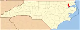 | |
| CDPs | ||
| Other communities | ||
| ||
This article is issued from Wikipedia. The text is licensed under Creative Commons - Attribution - Sharealike. Additional terms may apply for the media files.