Caputa, South Dakota
Caputa is an unincorporated community in Pennington County, South Dakota, United States. It sits at an elevation of 2,907 feet (886 m).[3] The Census Bureau began tracking Caputa in 2010 though no census results are available for the community.[4] Caputa has been assigned the ZIP code of 57725.[5]
Caputa | |
|---|---|
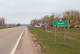 Caputa, looking north on highway 44. | |
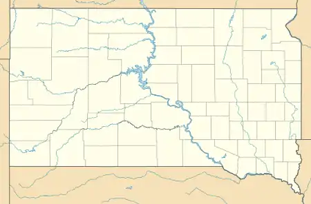  Caputa Location within the state of South Dakota  Caputa Caputa (the United States) | |
| Coordinates: 43°59′38″N 102°58′54″W | |
| Country | United States |
| State | South Dakota |
| County | Pennington |
| Area | |
| • Total | 1.01 sq mi (2.62 km2) |
| Population (2018)[2] | |
| • Total | 105 |
| Time zone | UTC-6 (Central (CST)) |
| • Summer (DST) | UTC-5 (CDT) |
| ZIP codes | 57725 |
Caputa got its start in 1907 when the Milwaukee Railroad was extended to that point.[6]
References
- "Caputa · Rapid City, SD".
- https://web.archive.org/web/20110728171420/http://quickfacts.census.gov/qfd/states/46/46103.html
- "Caputa". Geographic Names Information System. United States Geological Survey. Retrieved 28 November 2014.
- "Caputa Census Designated Place". Geographic Names Information System. United States Geological Survey. Retrieved 28 November 2014.
- "Look Up a ZIP Code™". USPS. Retrieved 28 November 2014.
- Federal Writers' Project (1940). South Dakota place-names, v.1-3. American guide series. University of South Dakota. p. 30.
Municipalities and communities of Pennington County, South Dakota, United States | ||
|---|---|---|
| Cities | 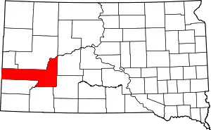 | |
| Towns | ||
| CDPs | ||
| Former CDP | ||
| Other communities | ||
| Ghost towns | ||
| Footnotes | ‡This populated place also has portions in an adjacent county or counties | |
| ||
This article is issued from Wikipedia. The text is licensed under Creative Commons - Attribution - Sharealike. Additional terms may apply for the media files.