Kyzyl-Alay
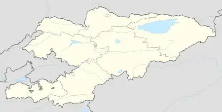
Kyzyl-Alay (Kyrgyz: Кызыл-Алай, also: Чагыр Chagyr)[1] is a mountain village in Osh Region of Kyrgyzstan, near highway M41. It is part of the Alay District.[2]
Kyzyl-Alay
Кызыл-Алай Chagyr | |
|---|---|
  Kyzyl-Alay | |
| Coordinates: 39°51′36″N 73°16′48″E | |
| Country | Kyrgyzstan |
| Region | Osh Region |
| Elevation | 2,654 m (8,707 ft) |
| Time zone | UTC+6 |
Nearby towns and villages include Ak-Bosogo (8 km or 5 mi) and Chong-Karakol (13 km or 8 mi).
References
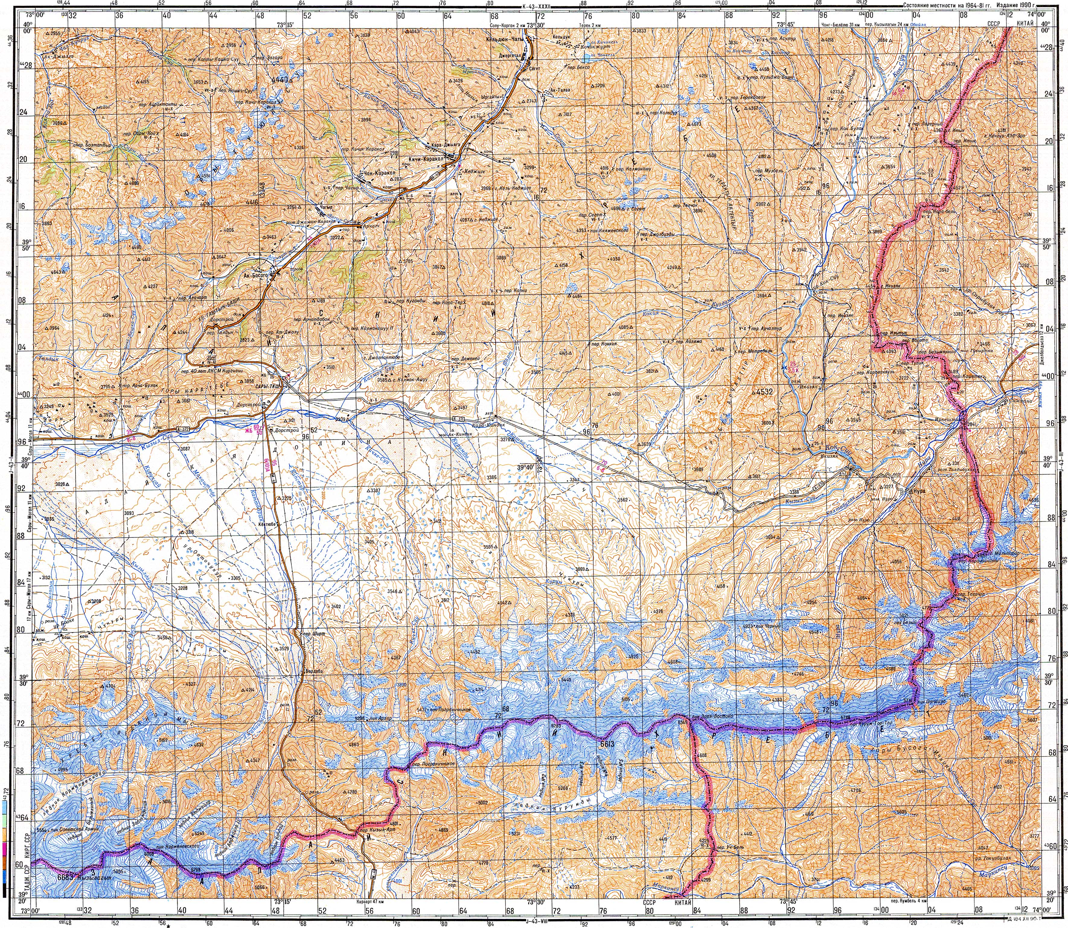
- Soviet military map J-43-02 (1:200,000)
- "Classification system of territorial units of the Kyrgyz Republic" (in Kyrgyz). National Statistics Committee of the Kyrgyz Republic. May 2021. pp. 46–48.
This article is issued from Wikipedia. The text is licensed under Creative Commons - Attribution - Sharealike. Additional terms may apply for the media files.