Chandia, Madhya Pradesh
Chandia or Chandiya is a town and a nagar panchayat in Umaria district in the state of Madhya Pradesh, India.
Chandia | |
|---|---|
city | |
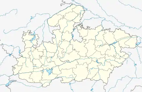  Chandia Location in Madhya Pradesh, India 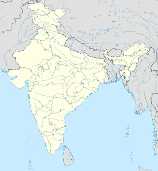 Chandia Chandia (India) | |
| Coordinates: 23.65°N 80.7°E | |
| Country |  India India |
| State | Madhya Pradesh |
| District | Umaria |
| Elevation | 398 m (1,306 ft) |
| Population (2001) | |
| • Total | 55,000 |
| Languages | |
| • Official | Hindi |
| Time zone | UTC+5:30 (IST) |
| ISO 3166 code | IN-MP |
| Vehicle registration | MP-54 |
Geography
Chandia is located at 23.65°N 80.7°E.[1] It has an average elevation of 398 metres (1,305 feet).
History
Chandia was a Ilakedari (estate) ruled by Baghela dynasty under the flag of Rewa Riyasat. In 16th century, estate of Chandiya was granted to Kunwar Mangad Rai, son of Maharaja Vikramaditya of Rewa. He got the title of Lal Saheb with 84 villages. He built the a very beautiful Fort of Chandia and ruled from it.
Upon India's independence in 1947, the estate of Chandia acceded unto the Domain of India. Along with Rewa, it later merged with the Union of India and became a part of Vindhya Pradesh, which was formed by the merger of the former princely states of the Baghelkhand and Bundelkhand agencies.
Demographics
As of 2001 India census,[2] Chandia had a population of 12,806. Males constitute 51% of the population and females 49%. Chandia has an average literacy rate of 53%, lower than the national average of 59.5%; with male literacy of 65% and female literacy of 40%. 17% of the population is under 6 years of age.
References
- Falling Rain Genomics, Inc - Chandia
- "Census of India 2001: Data from the 2001 Census, including cities, villages and towns (Provisional)". Census Commission of India. Archived from the original on 16 June 2004. Retrieved 1 November 2008.