Chewdara
Chewdara or Chivdora,(/tʃudærə/; Urdu: چيوڈارہ) is a village in the Rathsun block of the Beerwah tehsil in Budgam district of Jammu and Kashmir. It is located 21 km (13 mi) towards west of the Budgam district headquarters, 3 km (1.9 mi) from Beerwah and 23 km (14 mi) from the winter capital Srinagar.[5]Chewdara has two panchayats, Chewdara-A and Chewdara-B.[6]
Chewdara
چيوڈارہ Chivdora[1] | |
|---|---|
Village | |
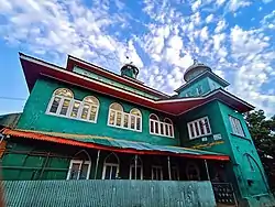 Masjid Shareef In Chewdara | |
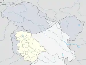  Chewdara Location in Jammu and Kashmir, India 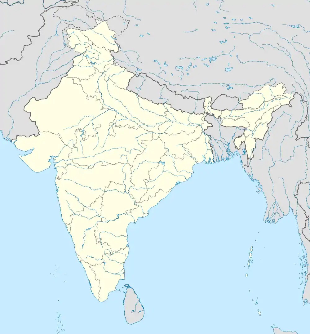 Chewdara Chewdara (India) | |
| Coordinates: | |
| Country |  India India |
| Union territory | Jammu and Kashmir |
| District | Budgam |
| Tehsil | Beerwah |
| Block/DDC Constituency | Rathsoon |
| Government | |
| • Type | Panchayat |
| • Body | Government of India |
| • DDC Councilor | Khursheed Ahmed Sheikh[2] |
| • Sarpanch |
|
| Elevation | 1,580 m (5,180 ft) |
| Population (2011) | |
| • Total | 4,161 |
| Languages | |
| • Official | Kashmiri, Urdu, English[3][4] |
| Time zone | UTC+5:30 (IST) |
| PIN | 193411 |
| Religion | Islam |
| Sex Ratio | 1897 ♀/ 2264 ♂ |
| Ethnicity | Kashmiris |
| Website | budgam |
Demographics
Population
As of the 2011 census, the population of Chewdara is 4161, of which 2264 are males and 1897 are females. The total number of children below 6 years is 824 as per the report. There are about 626 houses in Chewdara.[7][8][9]
Religion
Geography
The total geographical area of Chewdara village is 249.7 Hectares (2.497 sq.km). It is located at an elevation of 1,580 m (5,180 ft.) above the sea level.[10]
Educational institutions
The major institutions in Chewdara are the Government Higher Secondary School[11] and the Al-Huda International School.[12][13]
Transport
The shortest route from the nearest railway station, Mazhom, to Chewdara is about 12 kilometres (7.5 mi), as per Google Maps. The vehicle route starts from Railway Bus Stop Kanihama (nearest bus stop to Railway Station Mazhom). Turning right onto Narbal-Tangmarg Road, then turning left onto Beerwah Srinagar road/Magam Beerwah road, which goes till 2.8 kilometres (1.7 mi) and turns left into Adina Magam village. After reaching about 1.1 kilometres (0.68 mi) near Paripora, turn left by crossing a bridge towards Pethmakhama. The route continues towards Wanihama-Ohangam road, which later reaches Chewdara. [14][15]
The nearest railway station to Chewdara is the Mazhom railway station, and the nearest airport is the Sheikh ul-Alam International Airport.[16]
Mosques
There are a total of five mosques in Chewdara, including two congregational mosques. One is located in Section-A and the other is in Section-B of Chewdara.[17]
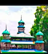 Jamia Masjid Shareef in Chewdara-A
- Markazi Jamia Masjid Shareef in Chewdara-B
Shrines
There are two Sufi shrines in Chewdara. Their names are as follows:
- Hazrat Baba Naseeb-Ud-Din Ghazi (Chewdara-A).[18]
- Syed Mohammad Alaa Ud Din (Khansahib) Rizvi-Al Bukhari, including Syed Ali's father "Syed Saif Ud Din (khansahib) Bukhari (R.A)" (Chewdara-B).
_Bukhari.jpg.webp) shrine of syed ali alaa ud din khansahib bukhari
shrine of syed ali alaa ud din khansahib bukhari
See also
References
- Paniker, K. Ayyappa (1997). Medieval Indian Literature: Surveys and selections. Sahitya Akademi. ISBN 978-81-260-0365-5.
- "DDC Poll results: NC wins eight of 14 seats in Budgam; PDF and independents bag 2 seats each". Kashmir Reader. 23 December 2020. Retrieved 14 August 2021.
- "The Jammu and Kashmir Official Languages Act, 2020" (PDF). The Gazette of India. 27 September 2020. Retrieved 27 September 2020.
- "Parliament passes JK Official Languages Bill, 2020". Rising Kashmir. 23 September 2020. Retrieved 30 May 2021.
- Kashmir, India Director of Census Operations, Jammu and (1973). District Census Handbook: Srinagar. Jammu and Kashmir Government. p. 154.
- "Census of India Website : Office of the Registrar General & Census Commissioner, India". censusindia.gov.in. Retrieved 28 July 2021.
- "Census of India: Search Details". censusindia.gov.in. Retrieved 30 July 2021.
- Kashmir, India Director of Census Operations, Jammu and (1973). District Census Handbook: Srinagar. Jammu and Kashmir Government. pp. LVII, Page, 166.
- Village Town Wise Population and Scheduled Caste Population, Series 8, Jammu & Kashmir: Special Paper of 1981. Controller of Publications. 1985. p. 38.
- Rashid, Arif (26 October 2021). "Reaching their fields a struggle for farmers in Beerwah village". Kashmir Reader. Retrieved 26 November 2021.
- Bhushan, Ravi (1992). Reference India. Rifacimento International. p. 178.
- "HS CHEWDARA — Chewdara, District Badgam (Jammu And Kashmir)". schools.org.in. Retrieved 4 August 2021.
- "Al Huda Intenatinal School Chewdara 🇮🇳 - WorldPlaces". india.worldplaces.me. Retrieved 9 August 2021.
- Google Maps (14 August 2021). "Mazhom Railway Station to Chewdara" (Map). Mazhom Railway Station to Chewdara. Chewdara: Google Maps. Retrieved 14 August 2021.CS1 maint: date and year (link)
- Department, Jammu and Kashmir (India) Finance (1973). Consolidated Plan Budget. Printed at Ranbir Government Press. p. 92.
- "Chewdara A, Beerwah Village information | Soki.In". soki.in. Retrieved 14 August 2021.
- GKNN. "Hami decries civilian killings in Kashmir". Greater Kashmir. Retrieved 10 August 2021.
- Paniker, K. Ayyappa (1997). Medieval Indian Literature: Surveys and selections. Sahitya Akademi. p. 250. ISBN 978-81-260-0365-5.
External links
| Passes | 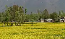 | |
|---|---|---|
| Valleys | ||
| Cities | ||
| Towns |
| |
| Rivers | ||
| Glaciers | ||
| Lakes | ||
| Mountains | ||
| Hill stations and Mughal gardens | ||
| Protected Areas | ||
| See also | ||

| Villages in Budgam district | |
|---|---|
Village with almost 1200 homes and 12 mosques. Literacy rate is 74.6 percent Two holy shines namely Hazrat Baba Naseeb-ud-Din Gazi & Hazrat Syed Ali Alav-ud-Din Khan Sahib Bukhari.