Shangus
Shangus is a village Panchayat and a tehsil in Anantnag district of the Indian union territory of Jammu and Kashmir.
Shangus | |
|---|---|
Town | |
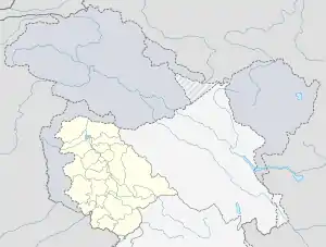  Shangus Location in Jammu and Kashmir 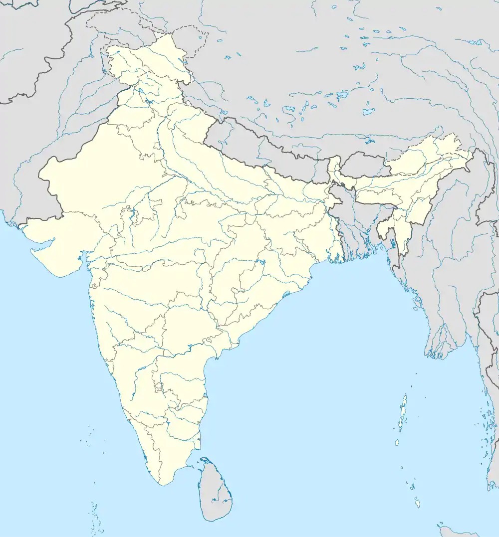 Shangus Shangus (India) | |
| Coordinates: 33°42′05″N 75°17′09″E | |
| Country |  India India |
| Union territory | Jammu and Kashmir |
| District | Anantnag |
| Elevation | 1,639 m (5,377 ft) |
| Population (2011)[1] | |
| • Total | 7,875 |
| Languages | |
| • Official | Kashmiri, Urdu, Hindi, Dogri, English[2][3] |
| Time zone | UTC+05:30 (IST) |
| Pincode | 192201 |
| Telephone code | 01932 |
| Vehicle registration | JK |
Demographics
The population of Shangus village was 5,235 at the 2011 Indian census, while the population of the Shangus tehsil was 52,352.[1][4]shangas is the biggest village interms of population in the district Anantnag.There are almost 25 mosques and a big jama masjid .locally the shangas is divided into 3 segments viz shangas A or HERGAM ,shangasB bonagam and MANZGAM which includes khanpora , wanipora, muqdampora.The people of vicinity villages call it GREATER SHANGAS also ,because of its nucleus position .
Politics
Shangus is in the Shangus state assembly constituency and the Anantnag parliamentary constituency.
See also
References
- "Census of India: Search Details". Census of India. Retrieved 26 July 2015.
- "The Jammu and Kashmir Official Languages Act, 2020" (PDF). The Gazette of India. 27 September 2020. Retrieved 27 September 2020.
- "Parliament passes JK Official Languages Bill, 2020". Rising Kashmir. 23 September 2020. Retrieved 23 September 2020.
- "Census of India: Search Details". Census of India. Retrieved 26 July 2015.

| Passes |  | |
|---|---|---|
| Valleys | ||
| Cities | ||
| Towns |
| |
| Rivers | ||
| Glaciers | ||
| Lakes | ||
| Mountains | ||
| Hill stations and Mughal gardens | ||
| Protected Areas | ||
| See also | ||
This article is issued from Wikipedia. The text is licensed under Creative Commons - Attribution - Sharealike. Additional terms may apply for the media files.