Cowley Beach, Queensland
Cowley Beach is a beach, coastal town and locality in the Cassowary Coast Region, Queensland, Australia.[2][3] In the 2016 census the locality of Cowley Beach had a population of 78 people.[1]
| Cowley Beach Queensland | |||||||||||||||
|---|---|---|---|---|---|---|---|---|---|---|---|---|---|---|---|
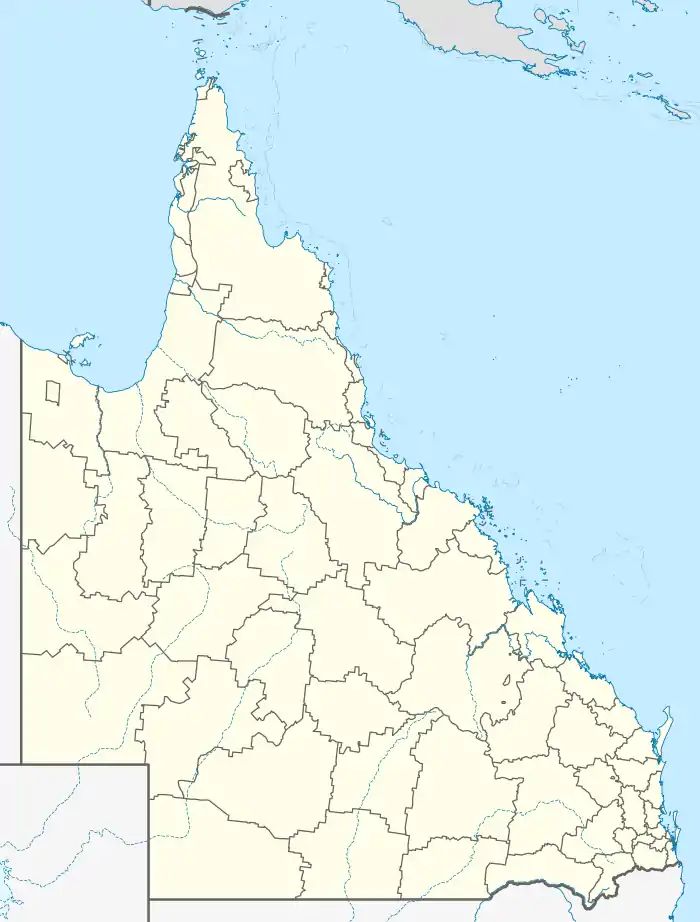  Cowley Beach | |||||||||||||||
| Coordinates | 17.6933°S 146.1113°E | ||||||||||||||
| Population | 78 (2016 census)[1] | ||||||||||||||
| • Density | 0.542/km2 (1.403/sq mi) | ||||||||||||||
| Postcode(s) | 4871 | ||||||||||||||
| Area | 144.0 km2 (55.6 sq mi) | ||||||||||||||
| Time zone | AEST (UTC+10:00) | ||||||||||||||
| Location | |||||||||||||||
| LGA(s) | Cassowary Coast Region | ||||||||||||||
| State electorate(s) | Hill | ||||||||||||||
| Federal division(s) | Kennedy | ||||||||||||||
| |||||||||||||||
Geography
The locality of Cowley Beach is bounded to the north by the Moresby River, to the east by the Coral Sea, and to the south by Liverpool Creek.[4]
Cowley Beach has the following mountains:
- Esmeralda Hill (17.6205°S 146.1311°E) 100 metres (330 ft)[5][6]
- Georgie Hill (17.6054°S 146.1307°E) 140 metres (460 ft)[5][7]
Cowley Beach has the following coastal headlands (from north to south):
- Camp Point (17.6017°S 146.1267°E)[5][8]
- Hall Point (17.6018°S 146.1322°E)[5][9]
- Hayter Point (17.6170°S 146.1366°E)[5][10]
- Double Point (17.6487°S 146.1481°E)[5][11]
Cowley Beach has the following beaches (from north to south):
- Robinsons Beach, south of Hayter Point (17.6213°S 146.1359°E)[12][13]
- Browns Beach, north of Double Point (17.6379°S 146.1397°E)[12][14]
- Cowley Beach, south of Double Point (17.6757°S 146.1225°E)[12][15]
The Australian Defence Force's Cowley Beach Military Training Area (17.690°S 146.113°E) occupies most of the locality includes the northern part of the beach and most of its hinterland as well as the nearby Lindquist Island.[16][17] This facility is used for amphibious warfare training, and also includes a rocket range and a cantonment area.[18][17][19]
History
The town takes its name from the beach which in turn takes its name from Ebenezer Cowley, a horticulturist and overseer at Kamerunga State Nursery. Prior to 16 November 1991 the town was called Inarlinga.[2]
In December 1930, a public reserve along the beachfront of Cowley Beach was established.[20] In January 1931 the beach was attracting increasing numbers of holiday makers.[21][22]
The Cowley Beach Military Training Area was established in 1962 as the Joint Tropical Research Unit, so-called because it operated in collaboration with the British Ministry of Defence.[19]
In the 2016 census the locality of Cowley Beach had a population of 78 people.[1]
Education
There are no schools in Cowley Beach. The nearest government primary school is Silkwood State School in Silkwood to the south-west. The nearest government secondary school is Innisfail State College in Innisfail to the north.[4]
Amenities
There is a boat ramp in Bambarook Road (17.6965°S 146.1122°E). It is managed by the Cassowary Coast Regional Council.[23]
Attractions
Cowley Beach is a 7.5 kilometres (4.7 mi)-long beach that extends from Double Point past the town down to the mouth of Liverpool Creek.[24]
References
- Australian Bureau of Statistics (27 June 2017). "Cowley Beach (SSC)". 2016 Census QuickStats. Retrieved 20 October 2018.

- "Cowley Beach – town in Cassowary Coast Region (entry 46583)". Queensland Place Names. Queensland Government. Retrieved 19 July 2021.
- "Cowley Beach – locality in Cassowary Coast Region (entry 45688)". Queensland Place Names. Queensland Government. Retrieved 19 July 2021.
- "Queensland Globe". State of Queensland. Retrieved 11 December 2021.
- "Mountain peaks and capes - Queensland". Queensland Open Data. Queensland Government. 12 November 2020. Archived from the original on 25 November 2020. Retrieved 25 November 2020.
- "Esmeralda Hill – mountain in Cassowary Coast Region (entry 11869)". Queensland Place Names. Queensland Government. Retrieved 25 November 2020.
- "Georgie Hill – mountain in Cassowary Coast Region (entry 13608)". Queensland Place Names. Queensland Government. Retrieved 25 November 2020.
- "Camp Point – mountain in Cassowary Coast Region (entry 5956)". Queensland Place Names. Queensland Government. Retrieved 25 November 2020.
- "Hall Point – mountain in Cassowary Coast Region (entry 15233)". Queensland Place Names. Queensland Government. Retrieved 25 November 2020.
- "Hayter Point – mountain in Cassowary Coast Region (entry 15581)". Queensland Place Names. Queensland Government. Retrieved 25 November 2020.
- "Double Point – mountain in Cassowary Coast Region (entry 10418)". Queensland Place Names. Queensland Government. Retrieved 25 November 2020.
- "Mountain ranges beaches and sea passages - Queensland". Queensland Open Data. Queensland Government. 12 November 2020. Archived from the original on 25 November 2020. Retrieved 25 November 2020.
- "Robinsons Beach – beach in the Cassowary Coast Region (entry 28602)". Queensland Place Names. Queensland Government. Retrieved 11 December 2021.
- "Browns Beach – beach in the Cassowary Coast Region (entry 51724)". Queensland Place Names. Queensland Government. Retrieved 11 December 2021.
- "Cowley Beach – beach in the Cassowary Coast Region (entry 8608)". Queensland Place Names. Queensland Government. Retrieved 11 December 2021.
- "Environmental Management". Department of Defence. Archived from the original on 30 June 2016. Retrieved 23 May 2016.
- AECOM (12 June 2015). "Talisman Sabre 2015 Final Public Environment Report" (PDF). AECOM. p. 67. Archived (PDF) from the original on 17 November 2015. Retrieved 23 May 2016.
- Bateman, Daniel (26 August 2015). "Cowley Beach to be transformed in Defence exercise". Cairns Post. Archived from the original on 19 April 2018. Retrieved 23 May 2016.
- "Cowley Beach Innisfail, Queensland" (PDF). Australian Department of Defence. 2017. Archived (PDF) from the original on 12 June 2020. Retrieved 11 December 2021.
- "INNISFAIL NOTES". Townsville Daily Bulletin. LII, (325). Queensland, Australia. 22 December 1930. p. 3. Archived from the original on 11 December 2021. Retrieved 11 December 2021 – via National Library of Australia.CS1 maint: extra punctuation (link)
- "PERSONAL". Johnstone River Advocate And Innisfail News. XXVI (48). Queensland, Australia. 6 January 1931. p. 4. Archived from the original on 11 December 2021. Retrieved 11 December 2021 – via National Library of Australia.
- "POPULAR COWLEY BEACH". Johnstone River Advocate And Innisfail News. XXVI, (51). Queensland, Australia. 16 January 1931. p. 3. Archived from the original on 11 December 2021. Retrieved 11 December 2021 – via National Library of Australia.CS1 maint: extra punctuation (link)
- "Recreational Boating Facilities Queensland". Queensland Open Data. Queensland Government. 12 November 2020. Archived from the original on 22 November 2020. Retrieved 22 November 2020.
- "Cowley - Beach in Cowley Beach Cassowary Coast QLD". SLS Beachsafe. Archived from the original on 15 April 2019. Retrieved 10 December 2021.