District Council of Munno Para East
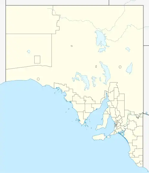
The District Council of Munno Para East was a local government area of South Australia from 1853 to 1933, seated at Uleybury.[1]
| District Council of Munno Para East South Australia | |||||||||||||||
|---|---|---|---|---|---|---|---|---|---|---|---|---|---|---|---|
  District Council of Munno Para East | |||||||||||||||
| Coordinates | 34°42′59″S 138°45′21″E | ||||||||||||||
| Established | 1853 | ||||||||||||||
| Abolished | 1933 | ||||||||||||||
| Council seat | Uleybury | ||||||||||||||
| |||||||||||||||
History
The District Council of Munno Para East was Proclaimed on 12 November 1853 [2] to govern the eastern half of the cadastral Hundred of Munno Para[3][4] following a Memorial in September 1853 from 87 owners and occupiers of land in the eastern portion of Munno Para Hundred, praying that that portion of the Hundred lying east of the Great North road, and containing about 50 square miles, be constituted a District; and that James Umpherston, James Adamson, Daniel Garlick, William Kelly, and Phillip Butler be the first District Council. [5]
The first meeting was held on the 17th November 1853, There were present Messrs. Umpherstone, Garlick, Kelly, and Butler. Mr. Butler was chosen Chairman. The fortnightly meetings were fixed for the first and third evenings in each month, to be held at the One Tree Hill Inn from which the Township of One Tree Hill took its name.[6]
The combined area of approx 50 square miles of the Hundred of Munno Para east of the Great North Road (Main North Road) that was bounded on the south by the Little Para River (which derives its name from the Kaurna (Aboriginal language) pari meaning "stream of flowing water") and on the north by the Gawler River/South Para River and was also known as the northern Para Plains.[4] The District Council of Munno Para West was established the following year in 1854 to bring local government to the western half of the Hundred.
In 1899 a part of the council of Munno Para West was severed to be the District Council of Gawler South and later merged with the Corporate Town of Gawler[4]
On 22 June 1933, the District Council of Munno Para West was abolished, with a severed part added creating an expanded District Council of Munno Para East. The bulk of Munno Para West was merged with Yatala North to create the District Council of Salisbury. A northern severed section from Munno Para West was added to the Town of Gawler.[4]
The first meeting of the expanded District Council of Munno Para East was held at Uley on Monday 3 July 1933. Two Councillors from the abolished District Council of Munno Para West joined the existing Councillors. New Elections will be held in August 1933.[7] The expanded Council would become known as simply District Council of Munno Para when 'East' was dropped from the name.
See also
Notes
- "District Council of Munno Para East". The Bunyip (4, 413). South Australia. 25 May 1934. p. 8. Retrieved 6 October 2017 – via National Library of Australia.
[...] meeting duly held at the District Office, Uley, on Monday, May 7th, 1934 [...]
- https://trove.nla.gov.au/newspaper/article/158095449
- "History of Playford". City of Playford. Retrieved 23 February 2016.
- Marsden, Susan (2012). "Local Government Association of South Australia: A History of South Australian Councils to 1936" (PDF). Retrieved 27 November 2020.
- https://trove.nla.gov.au/newspaper/article/158094910/18793226
- https://trove.nla.gov.au/newspaper/article/158095698
- https://trove.nla.gov.au/newspaper/article/96652147